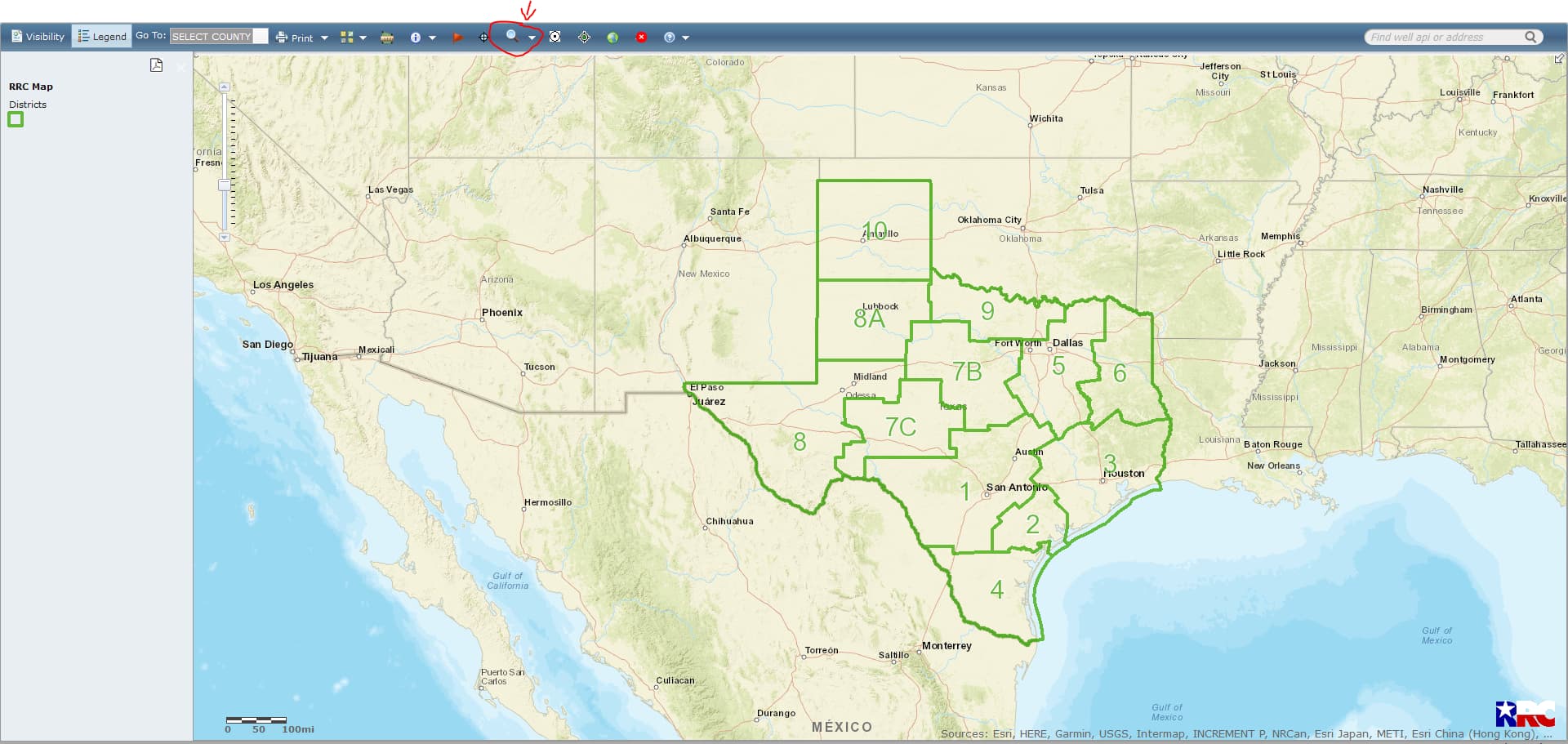
https://gis.rrc.texas.gov/gisviewer/
Click on the GIS viewer link that I gave you and at the top of the page you will see a small magnifying glass… click on that magnifying glass and then click on surveys.
After you click on surveys you will have a pop-up screen and type in the section 30… then go to where it says select county and click on that little empty square box… scroll down and click on Winkler and then click on Query… then you have a popup screen and then select Block 27/A-1744… Click on that and then your map should be there.

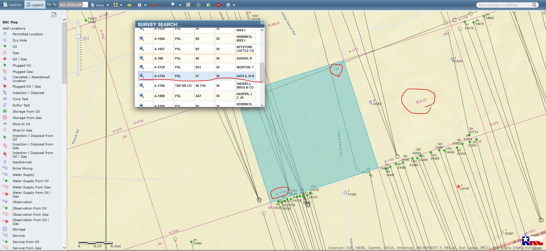
CLICK ON MAPS TO ENLARGE