hello, where on the RRC public GIS website does one find well permitting info?
i went to this page:
http://www.rrc.texas.gov/oil-gas/applications-and-permits/drilling-permits/
but do not see where to enter a database to see the filing.
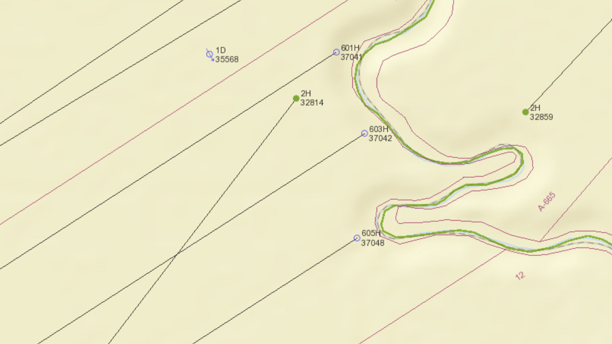
in particular, for instance, i was looking for api# 38937041 which corresponds to proposed well site 601h on the attached screenshot.
out of curiosity - what is the significance of the number below the well name? in this case it is 37041.
thx.
(250 KB)