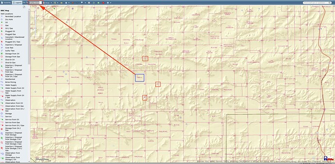
I have inherited mineral rights in Pecos in Block 1, Sections 21, 24 and 25. When I viewed these areas on the GIS Viewer it appeared to me that there was drilling activity going on. Because I am a novice at this I am looking for a second opinion to avoid wasting peoples time. Can anyone confirm if there is indeed drilling activity? Thanks.
It does not appear to me that there is current drilling activity in Block 1 in/near those sections. A couple old P&A’d Tap Rock wells down there.
Assuming I am in the correct place…
Fletcher_B, it looks like there are four sets of sections that fit that description. Three of the sets haven’t ever had any activity. The set
with A-669, A-8627 and A-629 (in the H&TC RR survey) has had some recent activity. A-669 had wells permitted in 2014 and 2018, but the last well was plugged in 2021. Well in A-8627 was also plugged in 2021.
RRC map doesn’t really show active drilling rigs, but it does show permits and existing well bores. I didn’t see any active production in any of the possible locations.
Pecos County is really split up as far as Block #'s. So take this with a grain of salt please. After a lot of looking this is what I think you are trying to find. I cannot see anything in any of those sections that have a well. Again, this is my take on what you are looking for and I may be wrong. These may be in Blk 5 and the ones you want are to the left of what I show? MK
Thanks to all. Appreciate you taking a look. It is confusing!
This topic was automatically closed after 90 days. New replies are no longer allowed.


