Hi everyone.
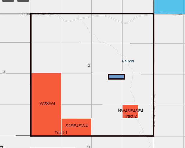
Land was sold around 1982, but still have the mineral rights, but not sure what this means. Section 2: W/2 SW/4 & S/2 SE/4 SW/4 & NW/4 SE/4 SE/4 (Tract 1: W/2 SW/4 & S/2 SE/4 SW/4 Tract 2: NW/4 SE/4 SE/4)
Hi everyone.
Land was sold around 1982, but still have the mineral rights, but not sure what this means. Section 2: W/2 SW/4 & S/2 SE/4 SW/4 & NW/4 SE/4 SE/4 (Tract 1: W/2 SW/4 & S/2 SE/4 SW/4 Tract 2: NW/4 SE/4 SE/4)
We need to have the rest of the description. There should be a township and range so we can give a complete answer. The Tracts are part of section 2 and describe smaller aliquots (portions) of the section. It is not a 640 section as section 2 is along the northern tier of the township and is corrected for the curvature of the earth. It is helpful if you read the descriptions from right to left.
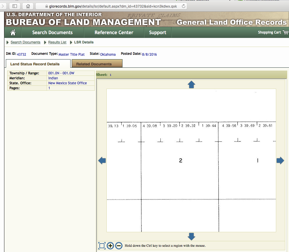
Do you have the township and range so I can point you to a map at the Bureau of Land Management? If not, I can draw up an example of what you have.
Please see attached sketch as an example of a Section 2, with the tracts highlighted. As noted, Township and Range needed to be more exact.
Township 1 North, Range 1 West.
Thank you. Hopefully some will come of this, but aren’t expecting much. We live in Florida and the best thing we can do now is just make sure our current address and contact information is up to date with Garvin County clerk of court or which government entity?
County clerk’s office. Call them and request the form.
This topic was automatically closed after 90 days. New replies are no longer allowed.