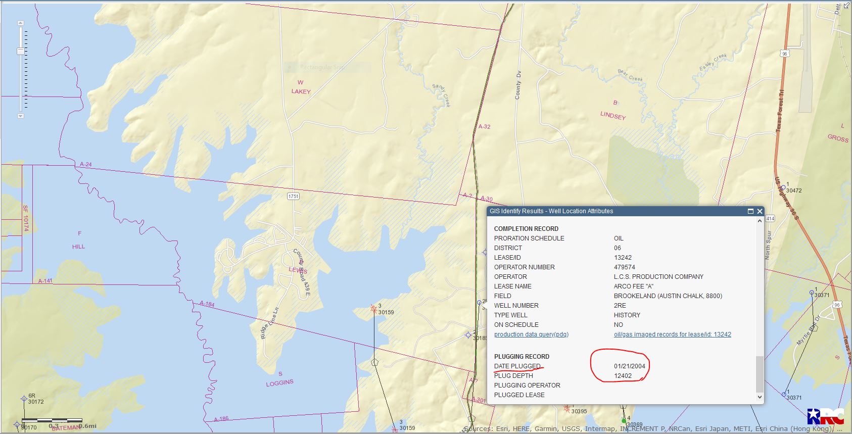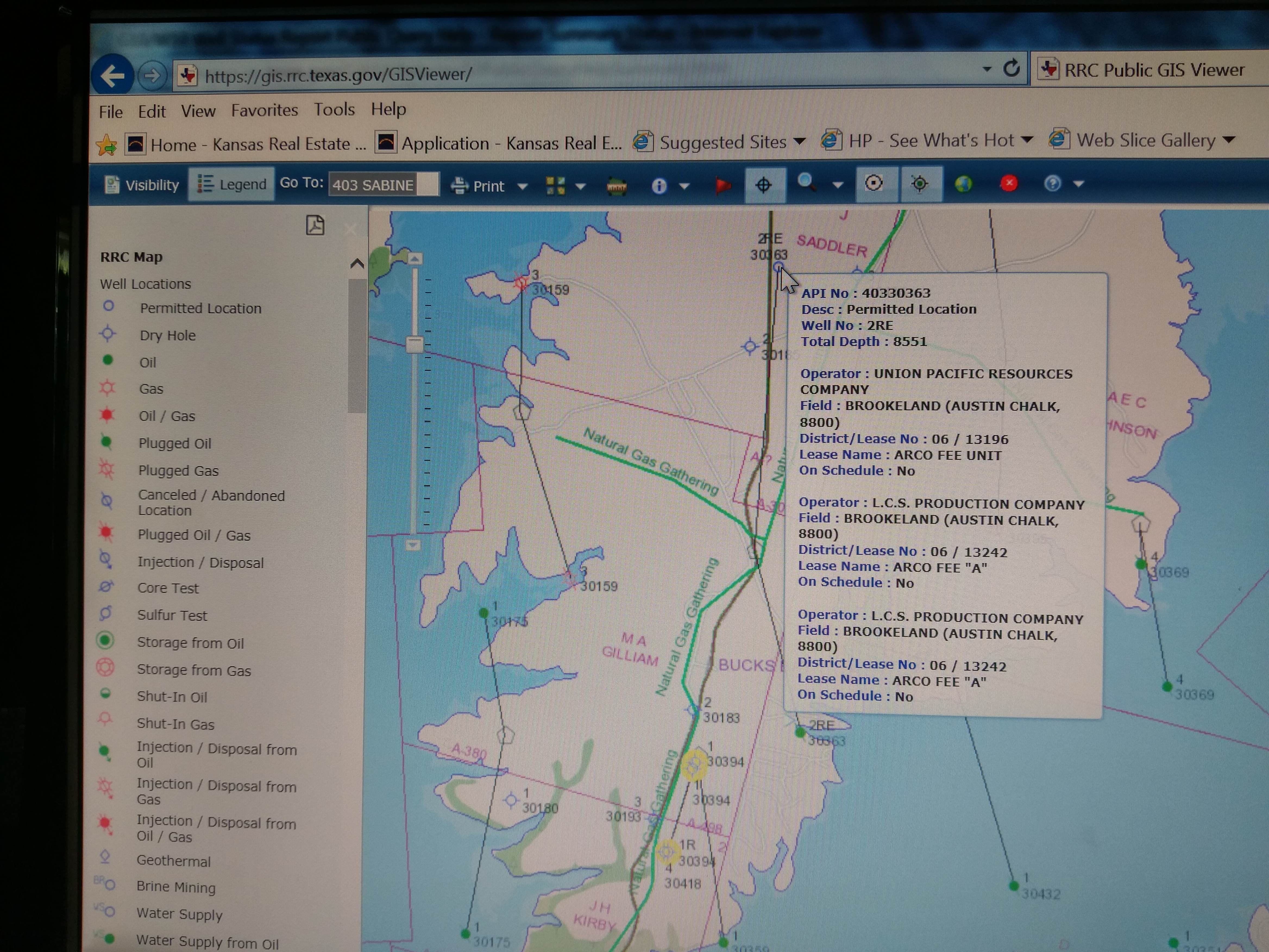
What does (“on schedule”: NO) mean? How can I see if the well is currently producing? Well is above arrow, next to API NO: Where do lease contracts get filed as a matter of legal record? I see M.A. Gilliam Survey boundary in pink. I am not sure why the well is located outside of boundary line? What does ‘permitted location’ mean? Indicated by the blue circle, at arrow location on map.
Thank you for any help. I am trying to understand the family history that goes back to a 1280-acre Land Bounty given by Texas Governor for service in the Texas Revolutionary War. M.A. Gilliam in 1913 mineral acres were not conveyed with the land!