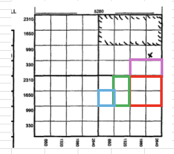
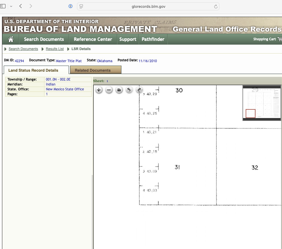
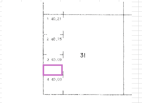
Back in 2019 I purchased roughly 5 acres in Murray County. 4.5 acres in 36-1N-1E and .5 NMA in 31-1N-2E. In Section 36, I have S/2 SE/4 NE/4; NE/4 SE/4; E/2 NW/4 SE/4; and SW/4 NW/4 SE/4 of this 90 acres I have 4.5 NMA. In Section 31, I have S/2 NW/4 SW/4 Lot 3 being 39.93 acres which I have 0.5 NMA.
When I purchased this property I didn’t see any wells at the time but I liked the area. I paid to run title and have verified my ownership.
Last night, I got on Drilling Edge and discovered a well right there in the NE/4 of Section 36??? The Jake B1 a well operated by Bays Exploration? I really don’t see how I am not getting paid royalties for this well?? Can someone please check my figures? It looks to me like it’s right in that 90 Acres of Section 36 where I have 4.5 NMA??? I don’t know much about well spacing but it looks like it literally is sitting within that 90 acres???
I remember distinctly looking at Google Earth photos when I bought this parcel and never saw any wells? Now, there’s clearly a well pad and pumping unit there. However, the well data says the original completion date was 9/24/2009?? The satellite images I see on Drilling Edge show what appears to be a fairly new and large gravel pad?
Please help me confirm that well location on me. Also, how would I not have been notified or given a lease or division order? I’m also wondering if there was an old well there that was temporary abandoned and someone came in and worked it and started it back up?