I have inherited multiple small mineral, and I mean small mineral interests lately. I have tried to read up on how to determine the wells that I should have a royalty interest in.
My question is: if my acreage is in, say, the NW quarter of a section, and there are wells in any of the other quarters of the section, should I still get a royalty interest in those wells? Or does my acreage have to be in the leased unit? Say, for example, a well has a lease of 40 acres in the NW quarter of the section and my acreage is in the SW quarter.
Or does all acres of any size or location in the section have a royalty interest in all wells that are drilled no matter when they are drilled, their leased acreage size, even if they are increased density wells.
You have to check the spacing of each well to see if your acreage is within the spacing. Shallow oil wells usually have a spacing of 80 acres or less. Gas wells tend to be 320 or 640 acres depending upon their depth. Many horizontal wells are 640 ares or more.
Wow thanks M Barnes. You just explained in a few lines what I have tried to find at the OCC and numerous articles on spacing for months.
I have found lease size in acres (for instance at the PUN lookup at the Oklahoma Tax Commission) for wells in the sections that I have a little acreage. These leases seem to be all different, so is that the spacing you are referring to?
You need to go to the permit for each well in a section and check the spacing for that well. Not the OTC site. If you have an example section, township and range, I can walk you through it with pictures. That always helps. Welcome to the Small Acreage club!
Drilling permits are accompanied by a plat map. That is the best way to determine if your acreage is included in the Drilling and Spacing Unit (DSU) associated with a specific well.
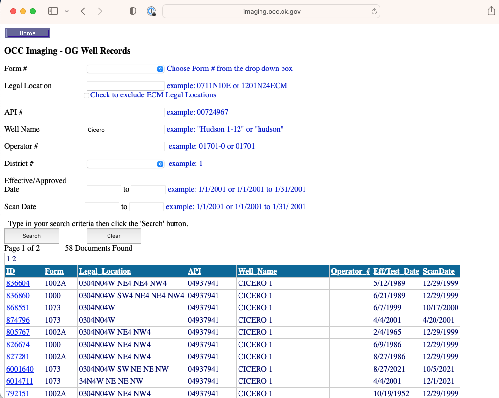
Pick Form 1000.
The spacing is 80 acres standup. That means it is the East half of the NW4. Many of the old permits have nice maps. Some of the new ones have them and some don’t.
Is there any way to look up mineral ownership in Oklahoma besides the okcountyrecords.com, other than going to the courthouse? I am looking for a record before 1965.