gljohnson, SE/4 of Section 41/Block 25/A-49 has 1 producing vertical oil well and 1 plugged vertical oil well.. The lease # of the producing oil well is 68964/the producer is Sharp Image Energy, Inc./the well name is Vernon Wolf /well #1. This link is to the total production data on the Vernon Wolf well # 1:: http://webapps2.rrc.texas.gov/EWA/specificLeaseQueryAction.do?tab=init&viewType=prodAndTotalDisp&methodToCall=fromGisViewer&pdqSearchArgs.paramValue= On the left hand side of this data page you will see the beginning date range ..if you will change this beginning date range to June 2006 and click SUBMIT you can see all the production of the life of this well.
GIS map of Borden County Section 41/Blk 25/A(Abstract)-49
CLICK ON MAP TO ENLARGE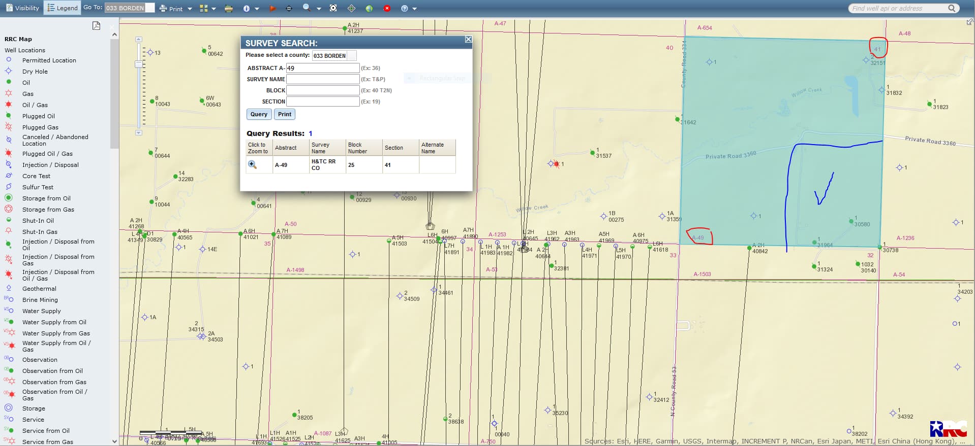
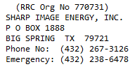
Contact Information for Sharp Image Energy, Inc.:
This is the link for pulling up GIS(Geographic Information Survey)maps… https://gis.rrc.texas.gov/gisviewer/