I have mineral interests in Reeves County: all of block 10, section 265, block 13. Can you convert this description to something I could use on Google Earth? Is there an online service that does this? Many Thanks.
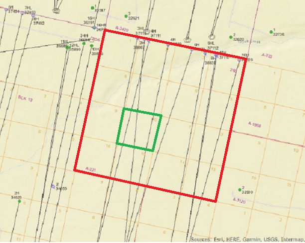
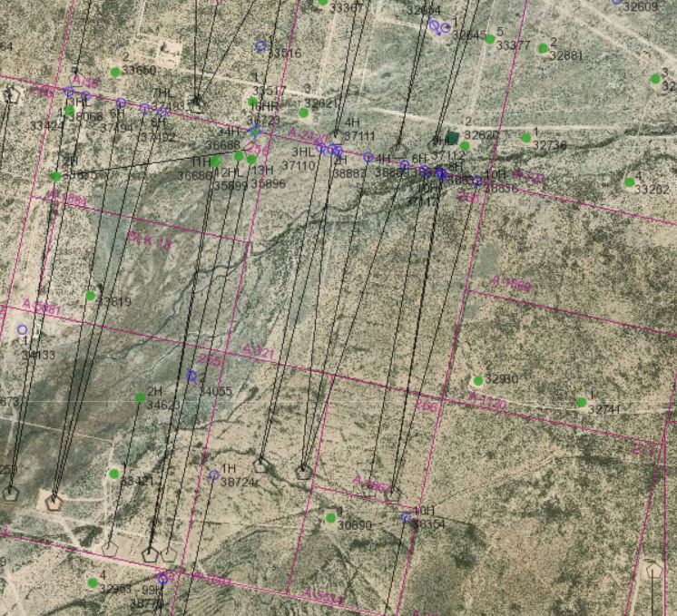
I’m guessing you mean Lot 10 of H&GN RR Survey Block 13, Section 265. If that’s right, below is the link to the Railroad Commission’s online GIS map and the aerial and map view of that area that you can pull up on their site. On the map view I outlined Section 265 in red and Lot 10 in green.
This topic was automatically closed after 90 days. New replies are no longer allowed.