I inherited mineral interests in Smith County long ago but have never been contacted about any drilling activity that I can remember. The property description is something I’ve never seen the likes of before. Can anyone tell me anything about my rights location and if there’s any activity? Description below.
Thanks for any help.
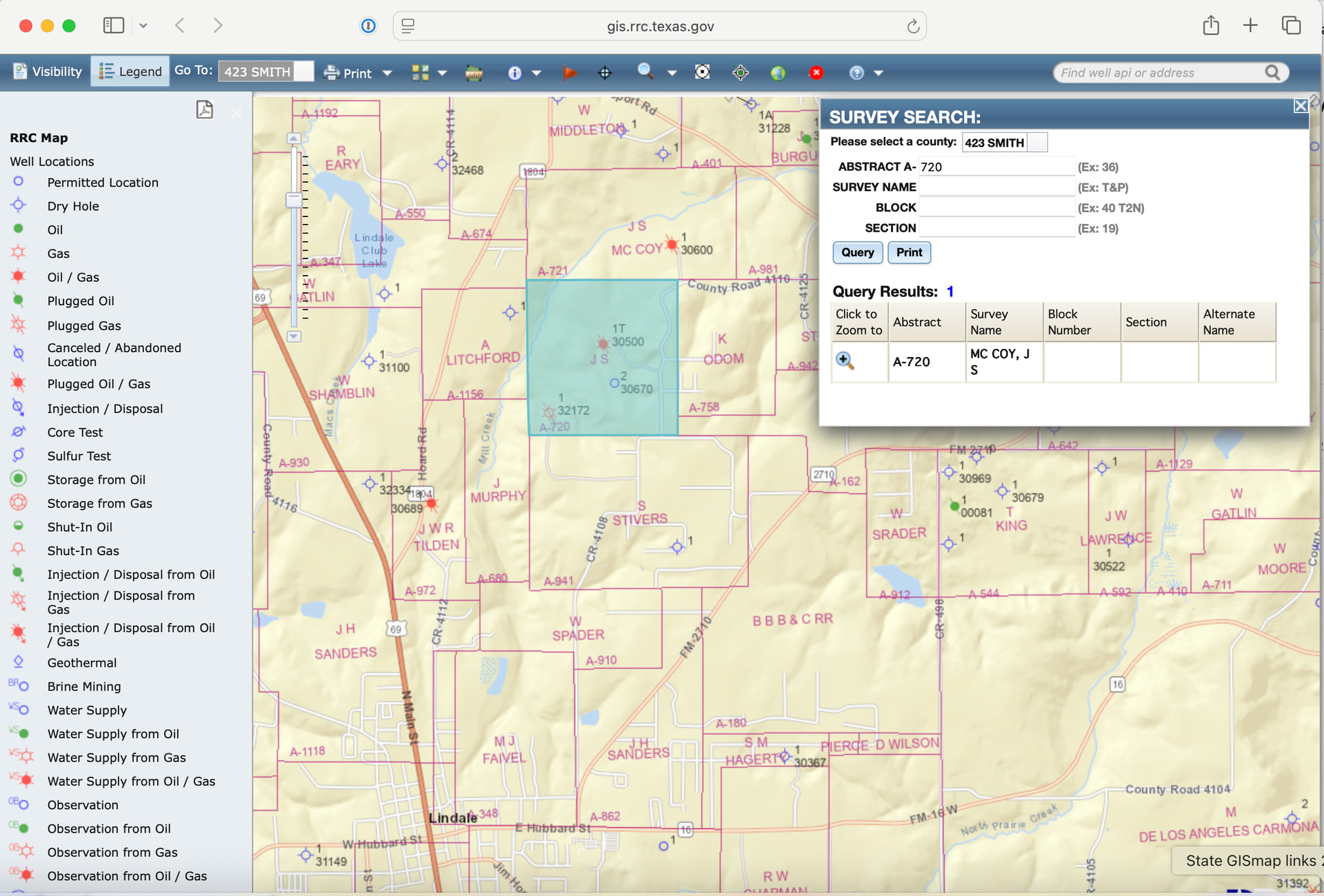
SMITH COUNTY, TEXAS MINERAL INTERESTS All that certain 32.50 acres, more or less, a part of the JNO S. McCoy Survey #748, Abstract #720, situated in Smith County, Texas; BEGINNING at the SWC of the Jno. S. McCoy Headright, a Post from which R.O. bears N. 76 W 1-6/10 varas and a P.O. bears S 25 E 2 varas; THENCE E 295.7 varas to stake for corner on the SBL of the Jno. S. McCoy Survey and the same being the SWC of a 42.50 acre tract conveyed to B.B. Burgess; THENCE N 610 varas to the NBL of the W.S. and Ann Burgess Estate, the same being the SBL of the R.M. Mallory Estate; THENCE W 295-7/10 varas to the NWC of the W.S. and Ann Burgess Estate, corner; THENCE S 610 varas to the beginning; Also 10 acres, a part of the Samuel Stivers Survey #_ Abstract #941; BEGINNING at the original NWC; THENCE E 309 varas to rock in old field for corner; THENCE S 183 varas a post from which a P.O. bears S 25 W 5 varas; THENCE W 309 varas to the WBL of said Survey; THENCE N with said WBL 183 varas to the place of beginning.