2 of my section descriptions contain an L3 and an L4 at the end. After the Range. Would someone please explain what these are?
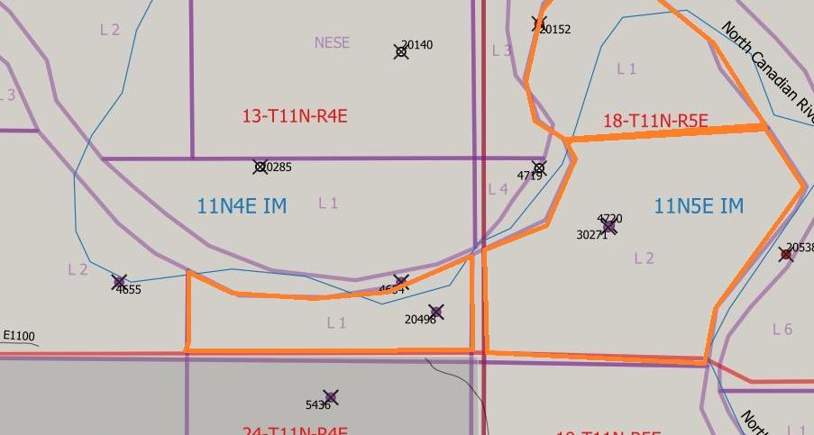
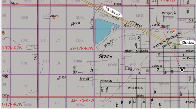
@Terra_Lally, notations like L3 and L4 are often parts of correction sections or lots of non-standard size and/or shape perhaps due to boundaries with a river or other body of water or even state and County lines. If you provide the rest of the description, someone can probably show a map of the area which would clarify the location of your particular L3 and L4.
In some uncommon circumstances & instances, lots (L) are part of a legal description.
Thank you this is very helpful
@Terra_Lally, if you can find a map of the area that shows the PLSS (Public Land Survey System) information it is usually helpful. A couple of examples attached below.
Go to Home - BLM GLO Records, click on Survey Plats and Field Notes, select your state, county, and enter the legal description. You don’t have to specify the Survey Type, but might want to start by selecting Original Survey. As galetime said, the “L” stands for lot, so L3 would be Lot #3, etc.
This topic was automatically closed after 90 days. New replies are no longer allowed.