Hi there I recently inherited some mineral rights and am curious if there’s any action happening there.
Township 143 North - Range 91 West Section 9: E 1/2 Section 10: S 1/2 SW 1/4 Section 14: SW 1/4 Section 15: N 1/2 Section 17: NW 1/4 Section 26: N 1/2
This is all very Greek to me, any help is much appreciated!! Thank you!
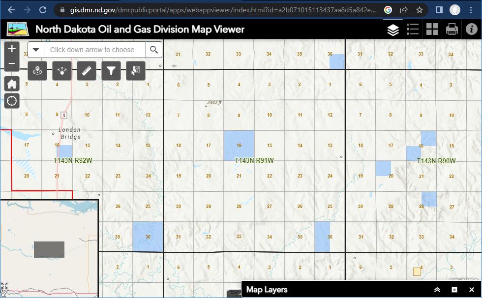
@Jennifer_Strom, here is a map of the area you described. It is about 20 miles west of Beulah, North Dakota. Not much oil activity shown. There is a “dry hole” shown in Section 13. Link for map: NorthDakotaOG_GIS
Thanks for the help! I’m gonna assume a ‘dry hole’ isn’t a good thing
This topic was automatically closed after 90 days. New replies are no longer allowed.