Hello,
My mother grew up in Dallas, TX and moved to Hollywood, CA in 1946 and had 3 sons. Years after my mother’s parent’s passed away, she received information from an agent working for an oil company that she owned a 1/3 share of mineral rights located in Rusk County, TX. The agent wanted her to confirm some info., however, she passed away before responding to the letter in 2015.
My mother’s Trustee (my older brother) said that he could not determine the value of the mineral rights, however, he did retain an real estate attorney located in Lufkin, TX who filed an “Affidavit of Facts Confirming Identity of Heirs” (myself and my two brothers) due to the mineral rights, which was filed in the Official Records of Rusk County, TX in 2016 referencing the following property:
“127 acres of land, more or less, part of the George May Survey, Abstract No. 25, and being the same land described in that certain deed dated March 30, 1970, from Annie Lee Weatherby to L. J. Hodges, Jr., and wife, Lois Jean Hodges, as recorded in Volume 908, Page 413, of the Deed Records of Rusk County, Texas.”
Question: Do all the owners of the mineral rights have to be notified before an oil company can drill for oil, or for other minerals? Or, do they only need a majority of the ownership. Are the funds held in trust for those beneficiaries that were unable to be contacted?
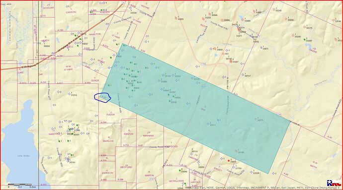
I was unable to find any information regarding the location of the George May Survey, or the location or address of 127 acres online, in order to determine if there was any oil found near this property.
