My sister and I own 66 acres at T158 R98, the inside corners of Sections 17, 18, 19, and 20 in Williams County, North Dakota, with a producing well in Section 20 operated by Kraken Operating. Crescent Point Operating is drilling wells at T158 R98 8-19-18. How do I know which direction these wells are going and if there will be any pooling involved?
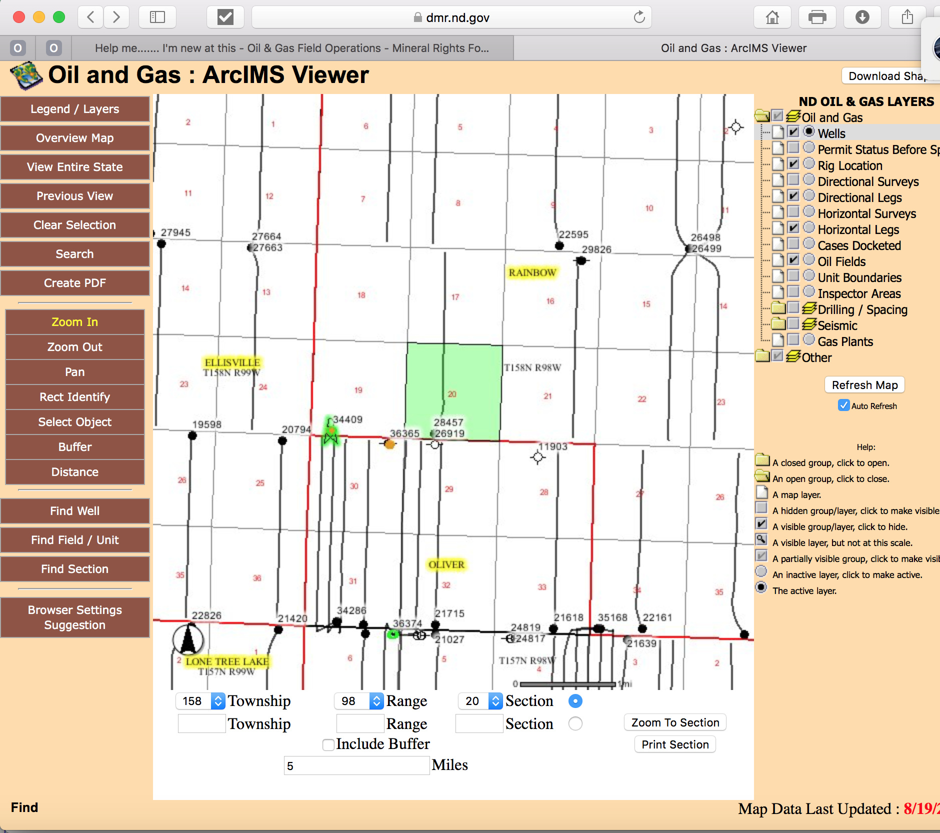
You can see the wells on the North Dakota oil & gas website viewer. In general they will probably be north-south in that area. The pooling may have already happened.
https://www.dmr.nd.gov/oilgas/ you can hunt for wells on the website.
https://www.dmr.nd.gov/OaGIMS/viewer.htm this is the map GIS site.
Kraken in Section 17, 20, 30 and 31 Crescent must be in Section 18 and 19 Good luck