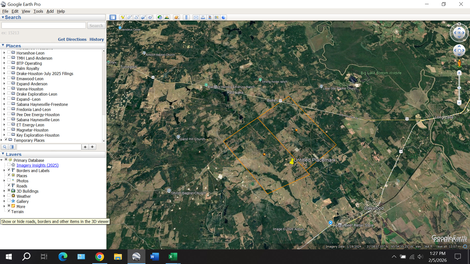
On February 3, Comstock filed a surface easement document in the Freestone County Deed Records that defined the location of an 8.8-acre tract that will serve as the pad for three future wells (56H, 57H, and 113H). The approximate location is shown by the untitled placemark in this image:
Is this possibly connected to the survey stakes set just east of the Butler Fire Department on the south side of 84? Looks very close but had heard that those were Mitsui.
Alan–I have a lease with Comstock in Freestone County involving 40 acres in Ellis, Kaine, and Trahin surveys. Any information about what is going on? Many thanks.
Those surveys are about 2.25 miles southwest of Comstock’s latest well permit, the Dollie Jones RP 1H. There is no way to know where Comstock will drill next.
Several months ago, Comstock offered me a lease in the Simon Sanchez Survey, Abstract 33, Freestone County, Texas. I have not signed. Do you know if it has any activity or plans in that area?