Starting to frac both wells
1 Like
Thanks LK, I have some interest in it and it’s been many months of waiting.
1 Like
Nat Gas numbers are in for Feb 2026:
Blackshear 1.0 million cu ft/day
Parr 1.4
Reimers $2,000 total for month too small to calculate
Monster $2,000
Francis 0.9
Friends 7.7 (almost $1 million in sales)
Harwi 3.0
Mulinge 6.5
Mid June we should see some numbers for the Maddox+3 wells…..
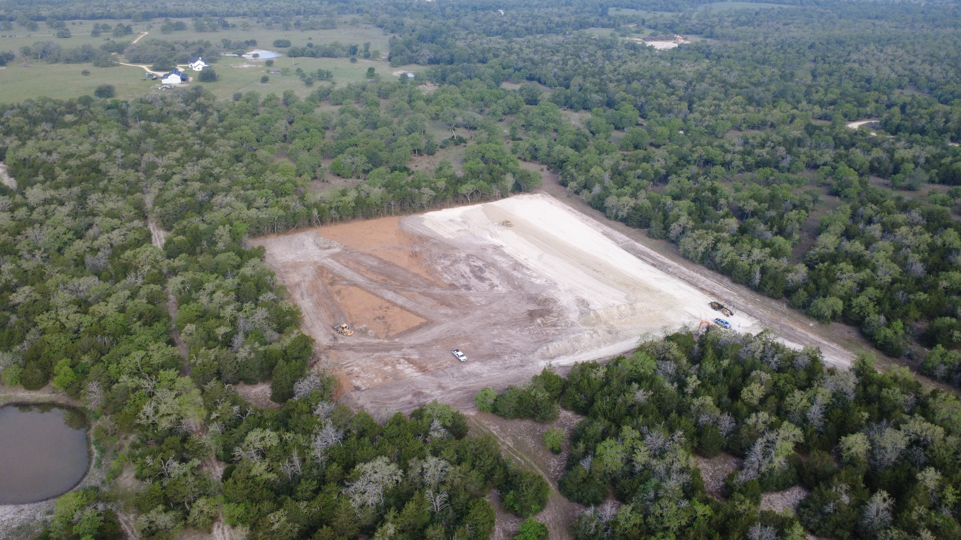

Petrovybe has filed intial production on the well drilledbon cr 195 near the lavaca river.
9500 vertical
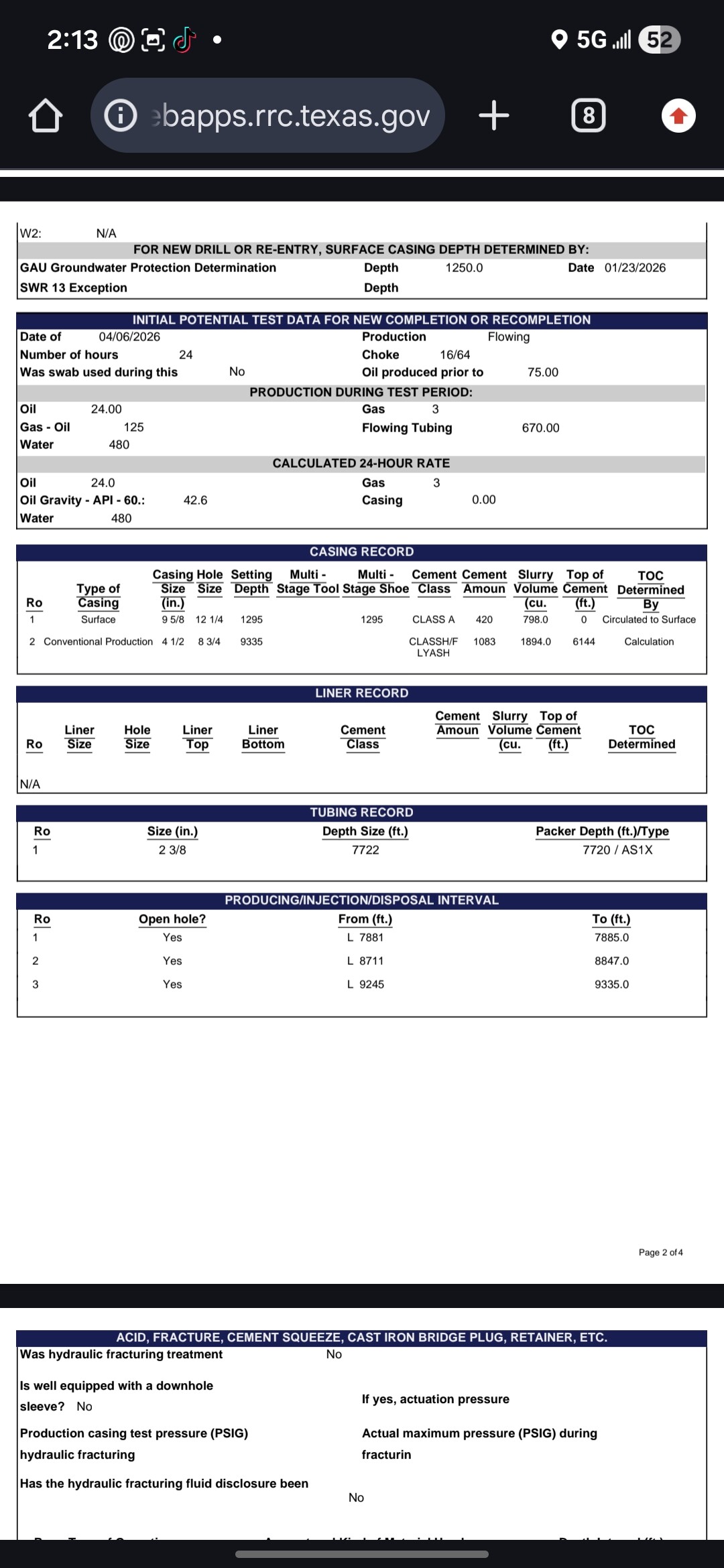
Really poor well / the 480 BW per day (or about three truckloads for SWD) kills the economics to keep this well producing and making any money for the operator
What i was thinking. Thanks.
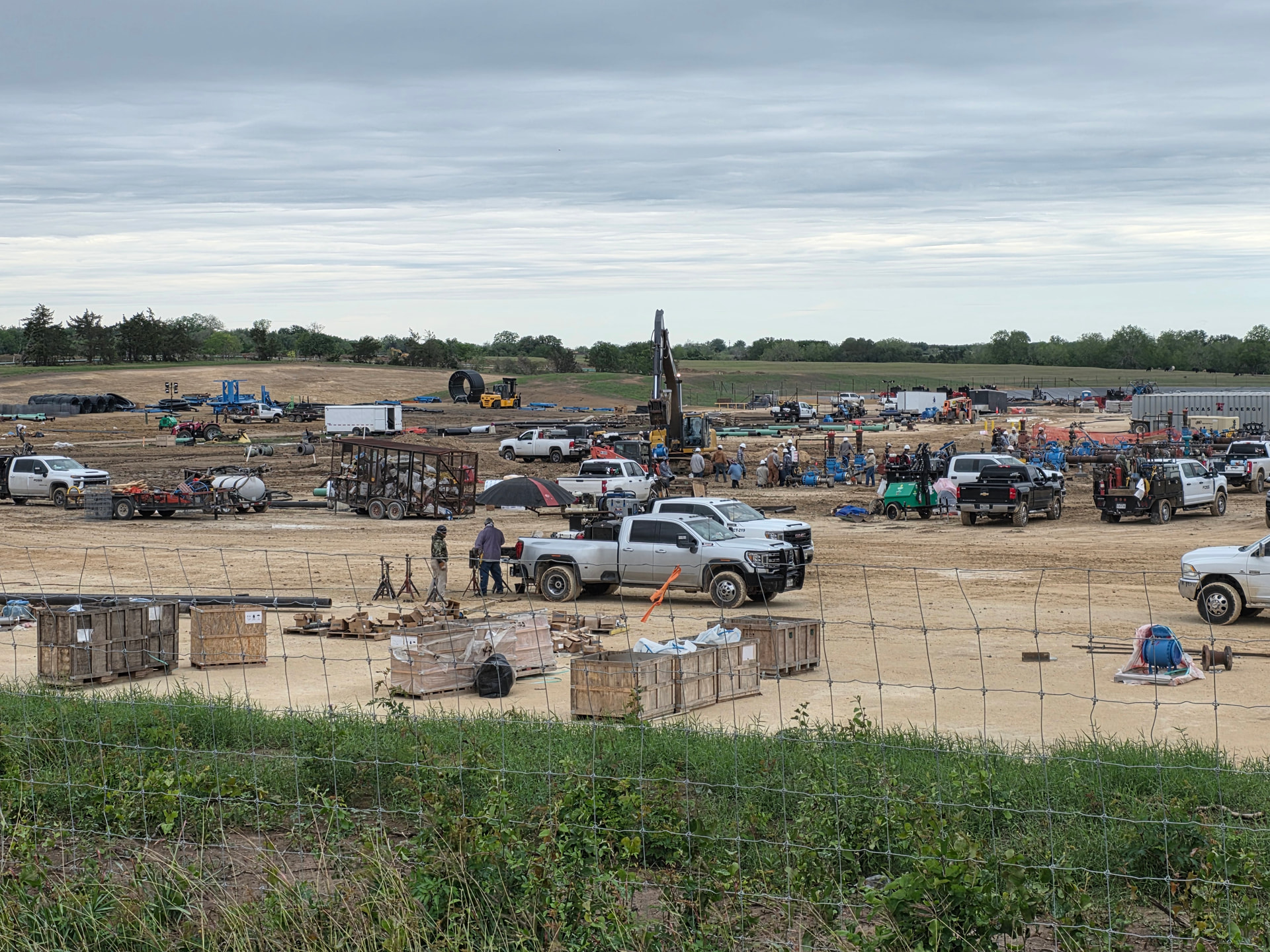
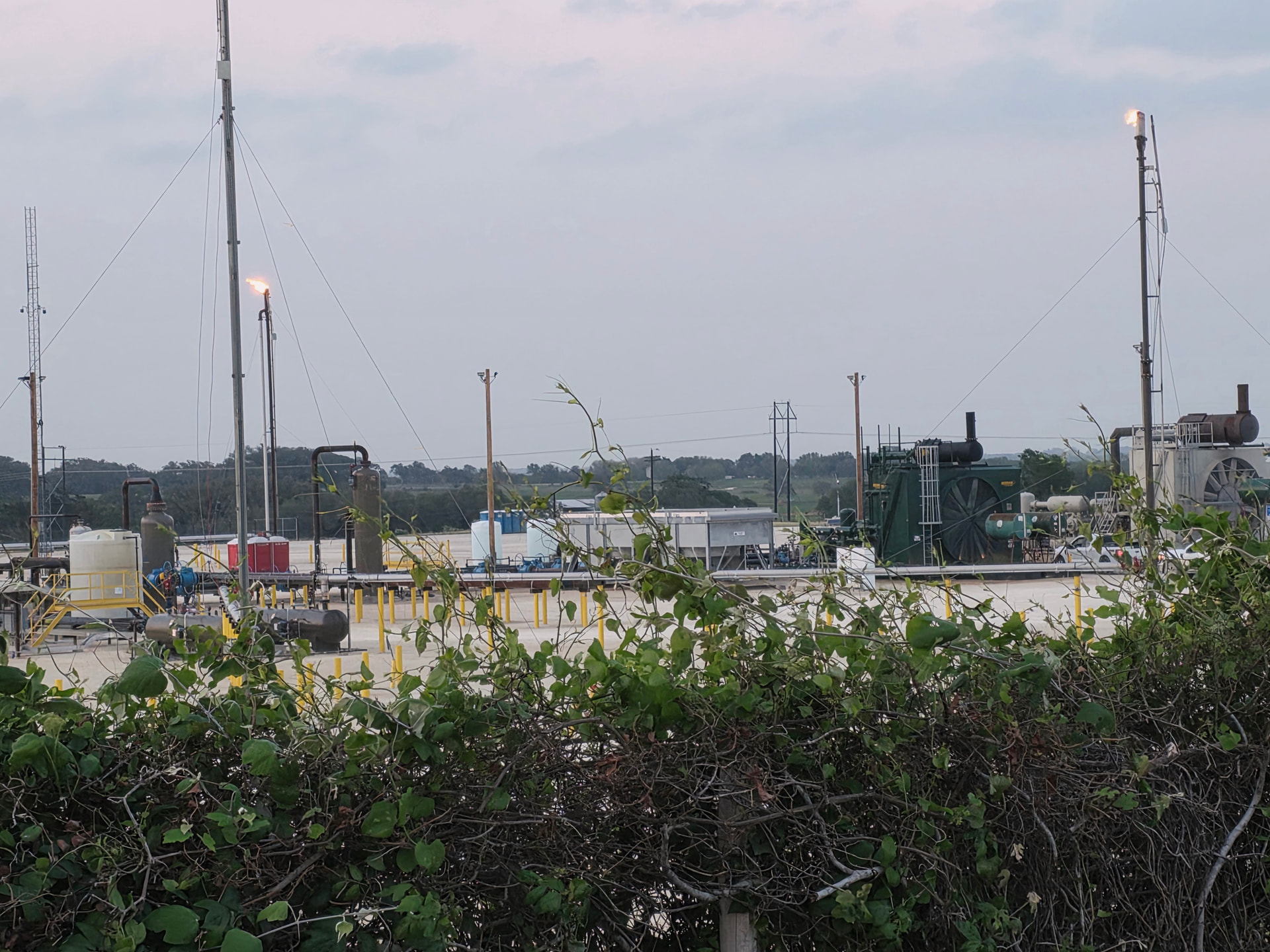
From what i researched about this company they are really small. Then you drive over the hill back to fm340 and you see Eog bruhn rawlins where they are fracing and sand truck’s have around the clock since Friday morning.
1 Like
Oil number for March 2026 are in:
Oil only-no gas (except in total sales figures)
Blackshear 199/ day $9 million in total sales for 8 1/2 months shutdown 6 weeks so total sales for 7 months
Parr 207/day
Reimers 112/day
Monster 71/ day
Francis 157/ day $12.5 million in total sales for 13 months minus 2 months shutdown so total sales for 11 months
Friends 795/day $7 million in total sales for 2 1/2 months !!
Harwi 407/ day
Mulinge 625/day $6 million in total sales for 2 1/2 months
For the most part all wells averaged a price per barrel a smidge over $89 /barrel for March…April should be $100+ since the daily rate is a lot more than the WTI May or June contract price…it’s been over in a range around $8-$20/barrel.
1 Like
Anyone know if Bruhn/Rawlins fracking is complete?
1 Like
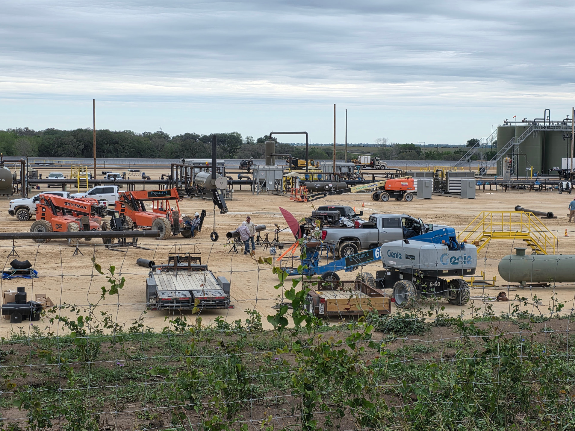
All the fracking part appears complete. Cleanup will be next but i imagine it will be awhile as the pipelines to the gas plant are not finished. I was told they had over 700 truck loads of sand and if you figure each trailer at around 50 k that was quite a bit.
Just need patience as the gas plant seems to be about complete.
1 Like
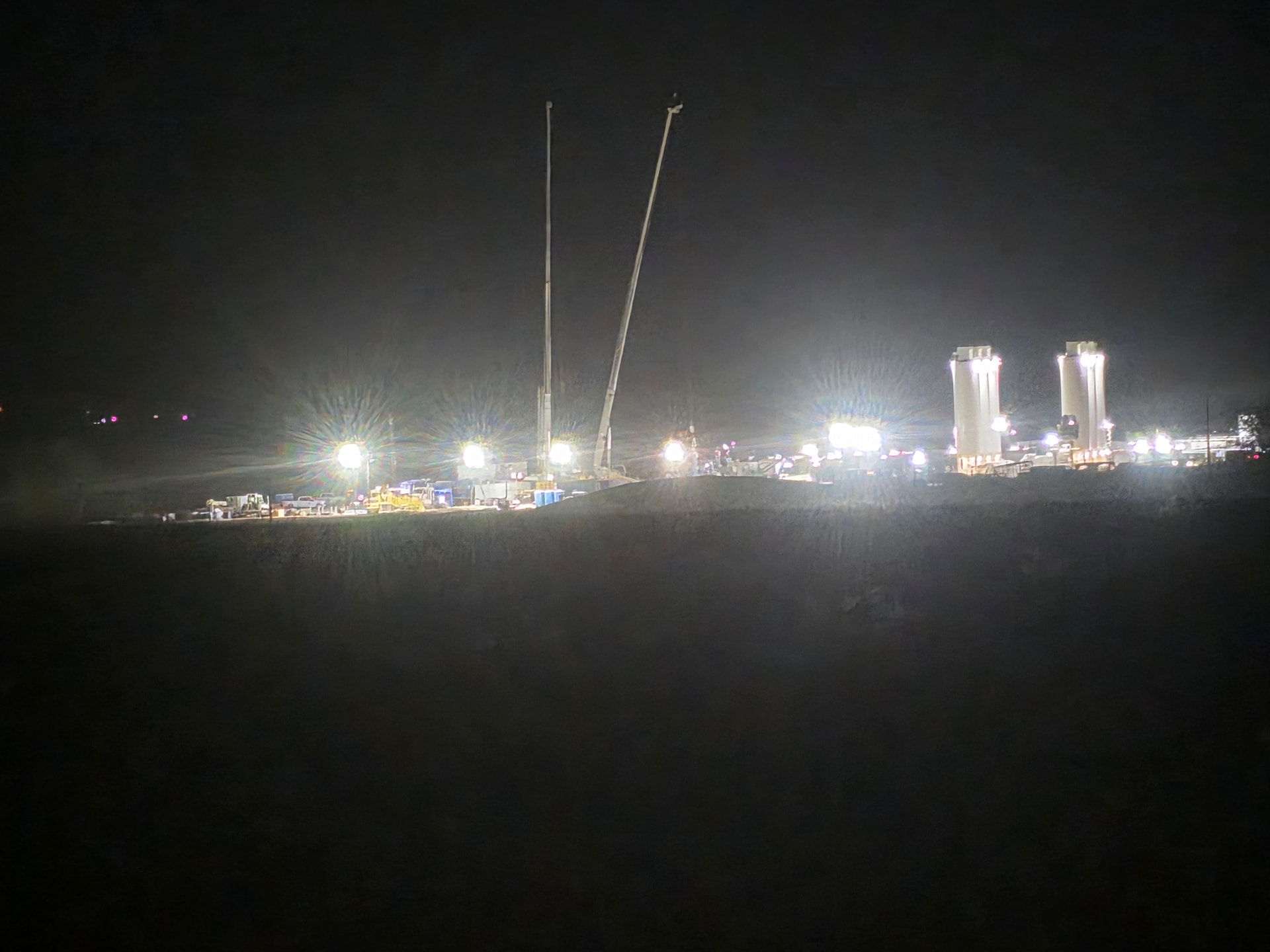
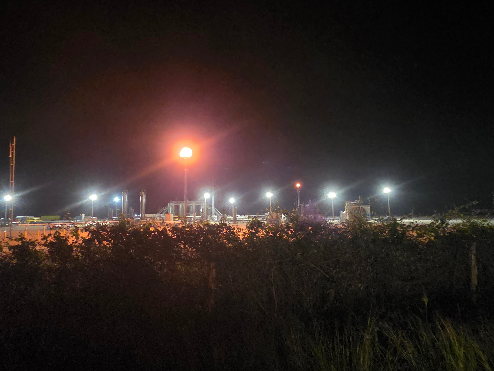
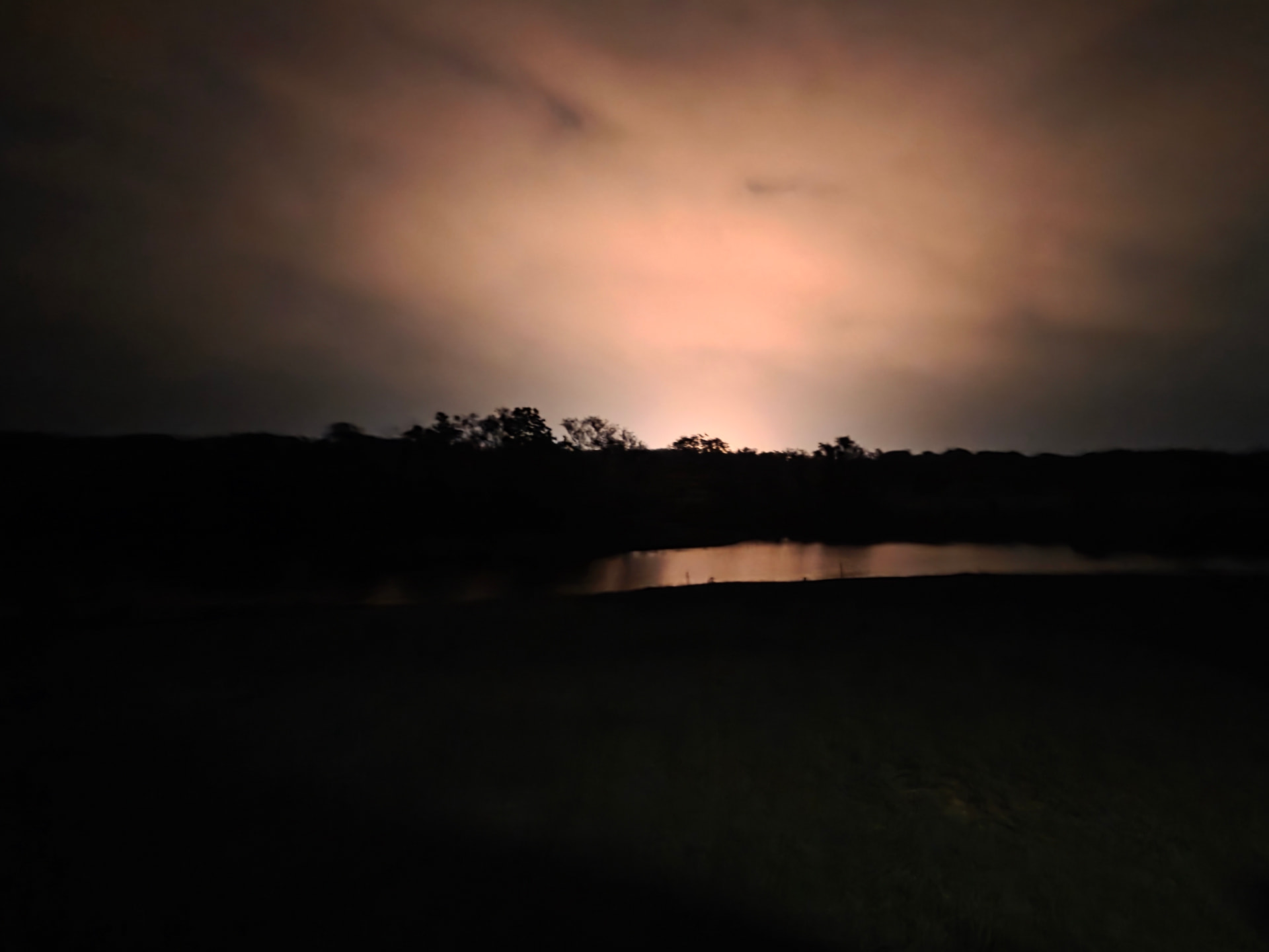
Looks like the gas plant has started to come online.
2 of the flare stacks are burning.
I assume this is coming from the maddox pad.
1 Like
I think the fat lady is singing for Reimers/Monster area, unfortunately….
I have to admit that I had my doubts but kept whistling through the graveyard. If I can get it to attach I had saved a file called EagleFordTOCIsopach. It’s from 2011 and shows the area you’re referring to in grey as opposed to the other more cheery pinks, greens, and yellows.
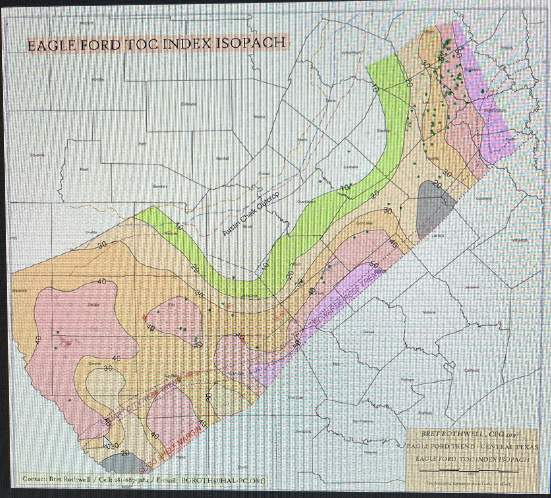
I wonder what the grey area indicates ? The SW portion of that grey area in lavaca county is doing really well with EOG, for the Upper EF. Still looks like that dotted red line through Lavaca county (the reef?) is where EOG has hit some concerns crossing on/over it.
The grey areas on this old map are low TOC - total organic carbon (normally listed as a % in the reservoir rock). Organic carbon is the kerogen that is broken down by heat and pressure to expel O&G.
Low TOC - minimal O&G being generated and stored in the rock that is being frac’d.
Note that this map is for the Eagle Ford - it does not include the Lower Austin Chalk member.
I am 99+% sure that the play being made now by EOG and others in this area is designed to lay laterals in a position where the Lower Austin Chalk and Upper Eagle Ford section are “combined” via frac stimulation into a singular “stimulated rock volume”
PS - The dashed red lines are the deeper Edwards and Sligo / Pettet Reef trends
I was hoping you’d respond because I surely don’t understand all I know on the subject. Thanks.