Geosouthern was chasing Hz Austin Chalk (frac’d laterals) in this area - drillled 3-4 wells with so-so results.
One of the keys to this Austin Chalk play is the actual reservoir and it porosity and perm characteristics. Lots of heterogeneity as to these factors.
There was an earlier comment about Eagle Ford in this trend - the EF is very thin this far downdip (SE) in the trend. Depending on the landing zone of any AC lateral, the stimulated rock volume may move down section and include the thin Eagle Ford section - but that EF interval is a minor contributor to overall flow volumes.
Pic here of entrance to francis unit off of 90A on FM 1891 about1/2 mile north of 90A. Note the sign says “Kessel” unit. Am I missing something here, this matches to the RRC site Francis well.
Interesting that I can’t find a “Kessel Unit” well anywhere in Lavaca County. The size of the unit (1278 acres) points to a large Hz drilling unit.
It is possible that EOG is changing the name of this well from Francis to Kessel and hasn’t filed all the paperwork yet? Regardless, Tx RRC requires a sign like this at all well location entrances - not sure as to the criteria for checking as to the accuracy of the sign’s details.
Here are some pics of the EOG water tank…lots of pipes coming down ready to be connected. This is in between Francis and Blackshear units. This tank is a lot higher than I thought…about 50 feet
Is it possible they (EOG) have preemptively put up signage for a next proposed unit (Kessel??) off of this pad? In conversation with a neighbor this past weekend he said his property boundary adjoins the Francis unit in its northern reaches and that they have heard rumor of being included in the next unit off of the Francis (or Weid) pad.
Not likely no. The signage would go up once the well/unit is permitted and approved by the RRC. Well/unit names can change from the time of initial permit submittal to approval/well actually being drilled.
Some useless information having nothing to do with the subject at hand: I recall someone (maybe Sanchez?) built one of these oversized tanks just south of Engle on Klekar Gin Road. Never used, of course.
FSNN reports that the county (Lavaca) or a contractor has already started clearing trees/brush from the side of 225/226 to make room for big equipment. I went out there a couple of days ago and didn’t see anything but it could have just started. FSNN also reports that it’ll probably be a ‘test well’ (I guess vertical) before taking any serious action if any.
Griffin estate off of CR 370 and CR 361 selling water to EOG. Also EOG has requested 5 year water permits as you can see on the Lavaca county clerks minutes.
Drove by CR 225/226 the other day. did not see any markers or surveys being done yet…or any other type of prep. Nice land out there with 2 big houses up on the hill…but that is all I got. These test wells will be (1) well in the Chalk with a horizontal lateral…just like the others..done by Redhawk. Redhawk Operating LLC was founded on October of 2024…and is 100% owned and operated by EOG. There was another Redhawk operating and oil & gas companies but they have fallen off the books, and were never owned by EOG or Redhawk leasing/landman operations…which are separate companies. Redhawk has the responsibility of drilling north of the Lavaca river, and where it curves to the south by Breslau they have the east of the river. EOG will drill the units on and south of the Lavaca river. EOG now has 3 units marked and ready to put pads on by the Francis well, to the southwest, south and east…siding up to Francis. You can already see the survey markings on the corners of the tracts.
EOG has marked most of, but not finished with, the units that are coming up on and south of the Lavaca river in the Valentine Survey. Looks like 4 new units there including tracts to the west off of FM 1295 next to the Modern and Matrix units, to the south, on FM 340 and still more south, and to the east almost to FM 957 but about 1/2 mile to the west of FM 957. Again, you can drive the area and see the corners freshly marked and the crews are still out as we speak marking them.
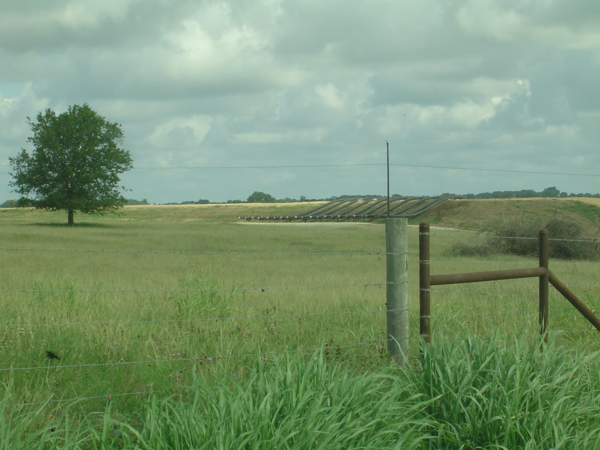
Now what i heard…they are getting ready to do a massive push in 2025 starting up to 8 new units..only 1 well on each pad. They need these pads up to keep the rig busy since the Gonzales county wells/units permitted will be drilled out shortly. that is why they have about 20 lines/pipes coming off their reservoir. Redhawk expects 2 more units to be made in 2025, which should give them enough info to see what they will drill out to hold..
FYI–the combination of the EOG and Redhawk leases in Lavaca county make up the 30,000 acres that EOG described in their 1st quarter results. They initially said these units would be 1200 acres with 2 mile (9000ft) laterals. they updated this to say some of these laterals will now be 3 miles up to 13,500 feet. Using the 30,000 acres and 1200 acre units this gives 25 total units. 3 have already been done, one south of Shiner, Francis and Blackshear..leaving 22 left. However they have leased more lands, some just getting the tracts to 100% leased with many mineral owners on one tract…but RUMOR has it EOG “maps” indicate 16 more units and Redhawk a potential of 12 more…this would include the new 2025 starts in 2025…so looks like the plan is to have all the units done with one well by end of 2026 to mid 2027…then go back and add remainder of the wells to the units, and possibly test more pay levels. Heard majority of these are Chalk wells with some more west and south to be lower EF. Was told these “particular” Chalk wells are trending to produce by volume 60% higher than their EF wells when looking at a cumulative total after 5-7 years…which I can understand with the huge decline curve of the EF wells.
So, to sum up..fingers crossed on the Redhawk wells to the NE…this will determine what gets drilled…and EOG South of Lavaca river down to 90A will be crazy wild soon..
Drove through that area as well a couple days ago. Saw a single ~8ft survey stake in one of the pastures on the north side of CR226 and a small inconspicuous flagging on a fenceline for a potential access point. That’s definitely some pretty country, just a bit envious they have such nice paved CRs.
Drove again to CR 225/226 to look for the markers. Found the marker, and it looks to be the redhawk site. The tract of land is almost bordering a large pecan farm that looks to be up for sale. there is no activity, and no markings on any post corners as yet…but as we know this can change in a blink of an eye…
I haven’t seen the marker, but is it just to the west of the pecan farm but not across that bridge?
To circle back to selling water, at about $0.35/bbl times 250,000 barrels that equals about $87,500. And that’s nowhere close to the amount of water needed. The price is from a different part of the state so that may vary but that’s not bad money.
It is just to the west of the Pecan farm. This unit should be like the rest slanting towards the northwest and southeast…so not sure if this one will be heading from the stake to the northwest or southeast. Southeast will take it extremely close to US 77.
Does anyone have information about a company called PETROVYBE ?
They drill vertical wells,…they hit a dry hole earlier this year on the Mobley Ranch off of US 77 just south of lavaca/Fayette county line. thanks
According to the CAD, the closest I can come to ‘the Mobley Ranch’ borders 77 on the west side but is SOUTH of 532. Looks to be directly east of Blackshear. The word Petrovybe returns seven hits from the Comptoller, all owned by more or less the same people.
In so far as Mobley Ranch is concerned, looks like Petrovybe One LP leased from Mobley, transfered to Petrovybe Holdings LLC, and then to Tesnus Energy Company. All these hit the courthouse on the same day 02/13. Tesnus is Sunset spelled backward which I guess is appropriate in this case. Then it was transferred to Seewald & Reyes LLC on 05/20. Too lazy to research them.
Probably more than you wanted.