I understand there is a well a short distance east of CR 345 and south of Hwy 199 in Cooke County, Texas. Does anyone know the location of a possible well in that area? If so, is it Barnett Shale gas or oil and what geographical area does it include?
James, are you sure about your road numbers?
James, need more information on that location. I see CR 345 but no Hwy 199 in Cooke County. If you know a survey or abstract number, or a community it’s close to might help.
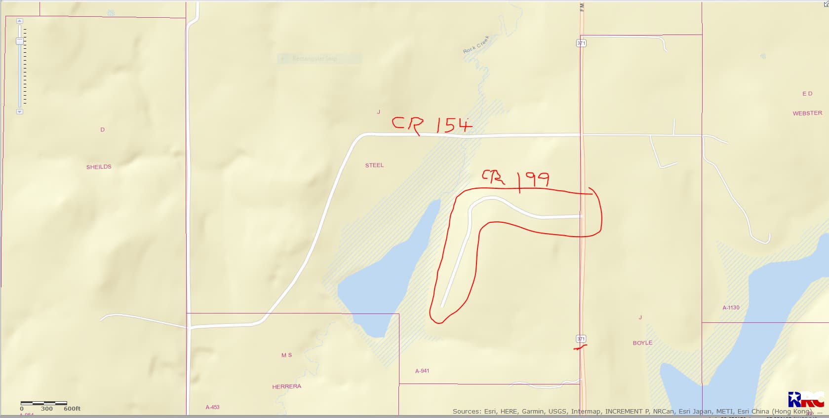
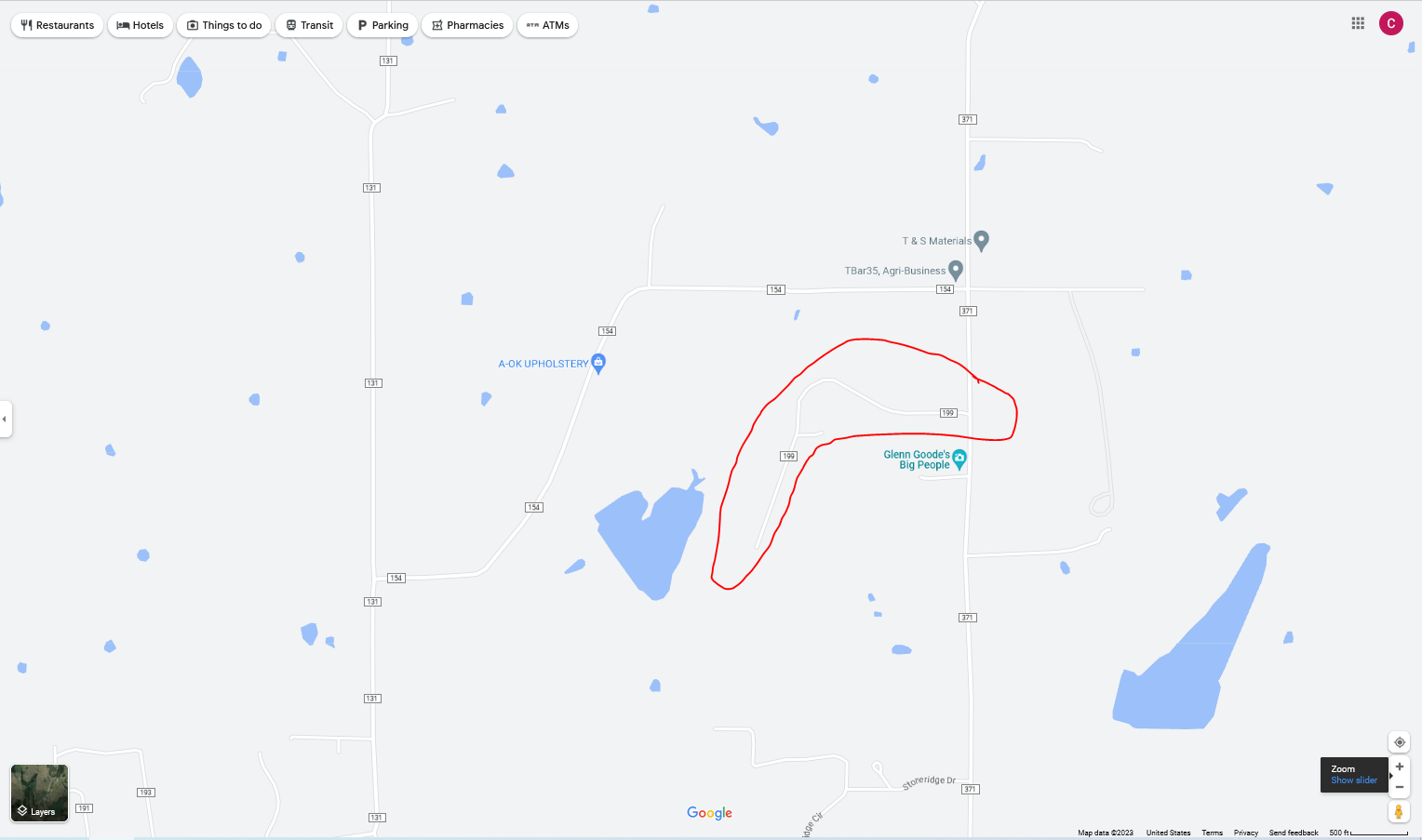
Dusty, I see where CR 199 is just south of CR 154… and that’s east of Gainesville.
CLICK ON MAPS TO ENLARGE
Clint, I have been trying to reply but my message was returned. The correct location is CR 345 (dead end road) off of Hwy 922 across the road from Prairie Point, Texas. I heard there was a well in the area east of CR 345 and south of Hwy 922. Sorry about my error on the highway number.
Good morning James… this map shows numerous horizontal wells that were drilled by EOG back in 2012-2013 in the Prairie Point area of Cooke County… but I don’t see any new activity… I will check further at submitted and approved permits for Cooke County. Clint
CLICK ON MAP TO ENLARGE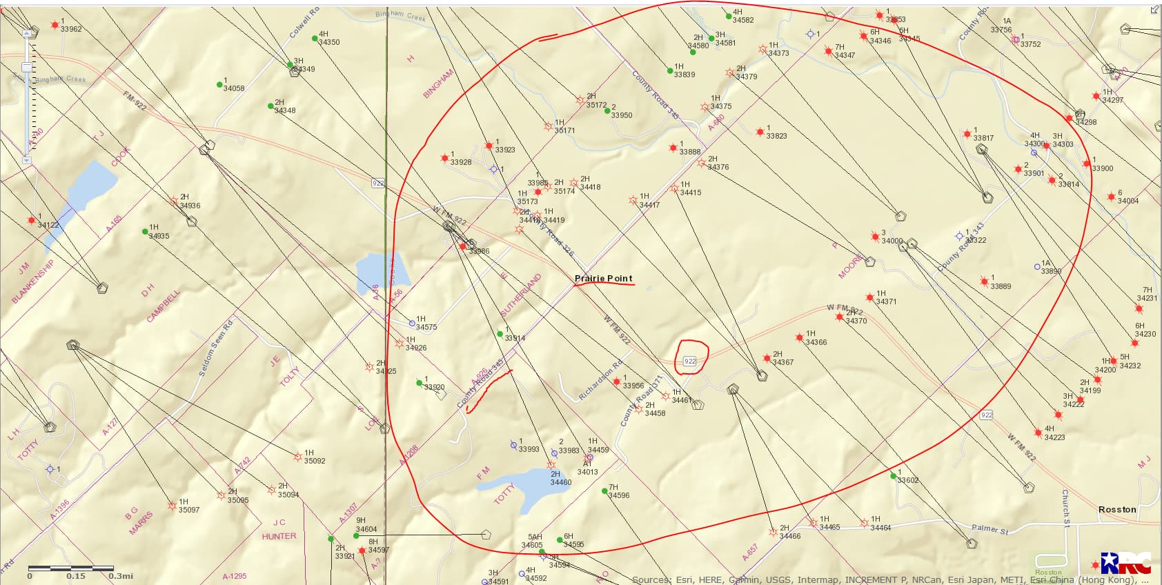
James this link will take you to 21 approved permits (3 pages) for Cooke County from August 01, 2022 through April 21, 2023. After a quick glance I didn’t see anything outstanding.
Clint, That’s a lot of help. Looks like the existing well 33956 may be the one mentioned to me. Do you have anything regarding production for that well and possibly the acreage covered.
Many thanks, Jim
Cooke County well API 097-33956/Lease # 274344: It shows that production ceased in March 2020 for that well and it’s temporarily abandoned…
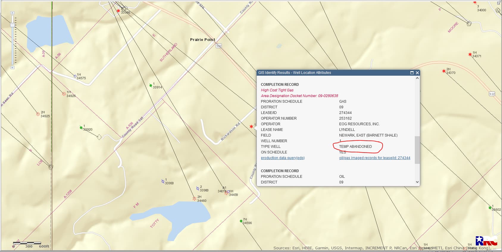
Plat map of the Lyndell #1

This topic was automatically closed after 90 days. New replies are no longer allowed.