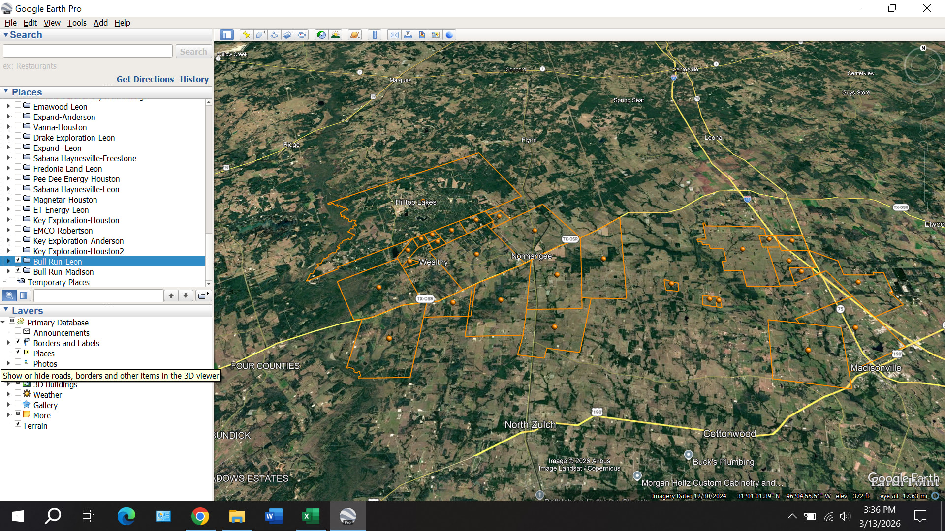
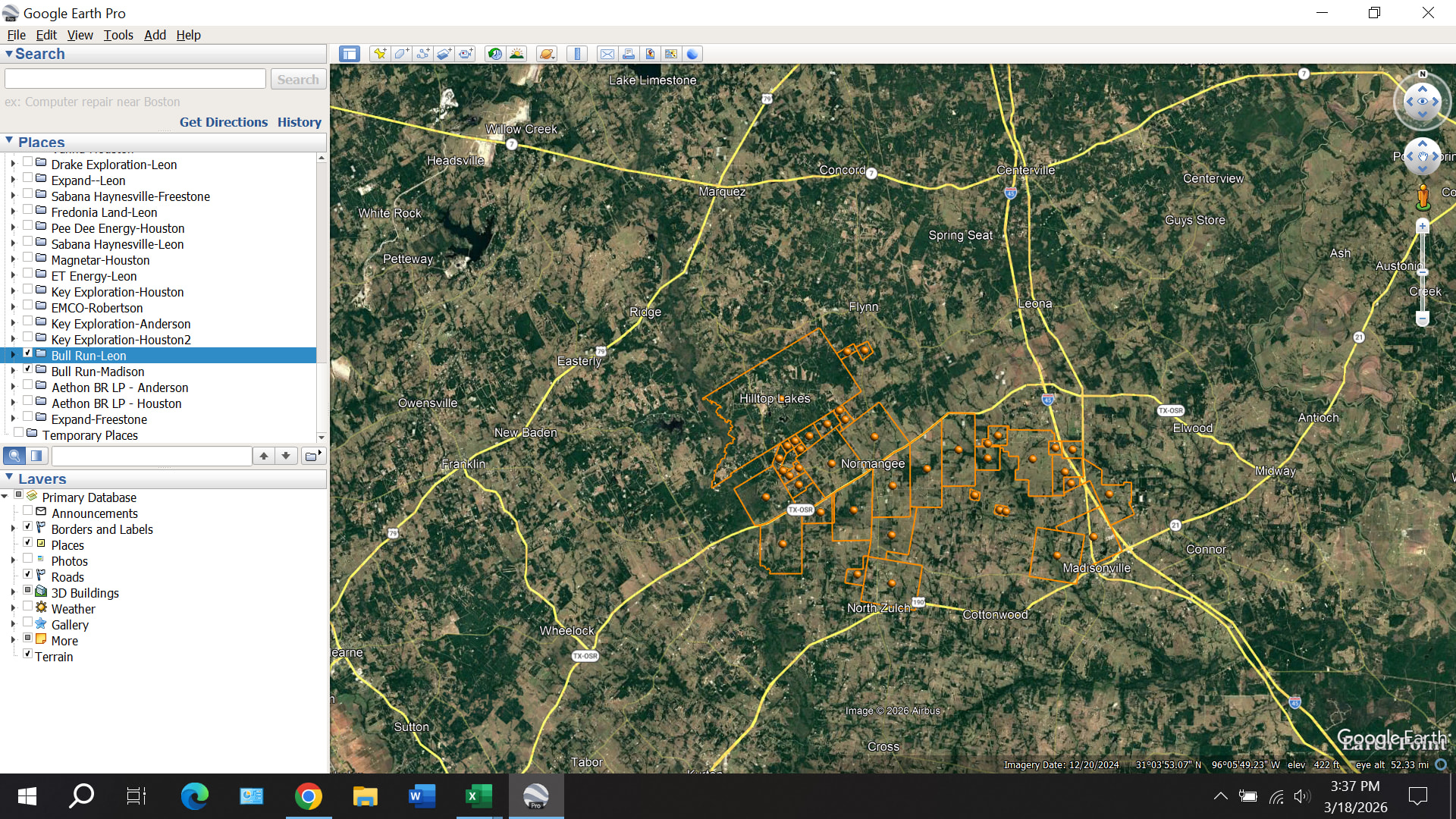
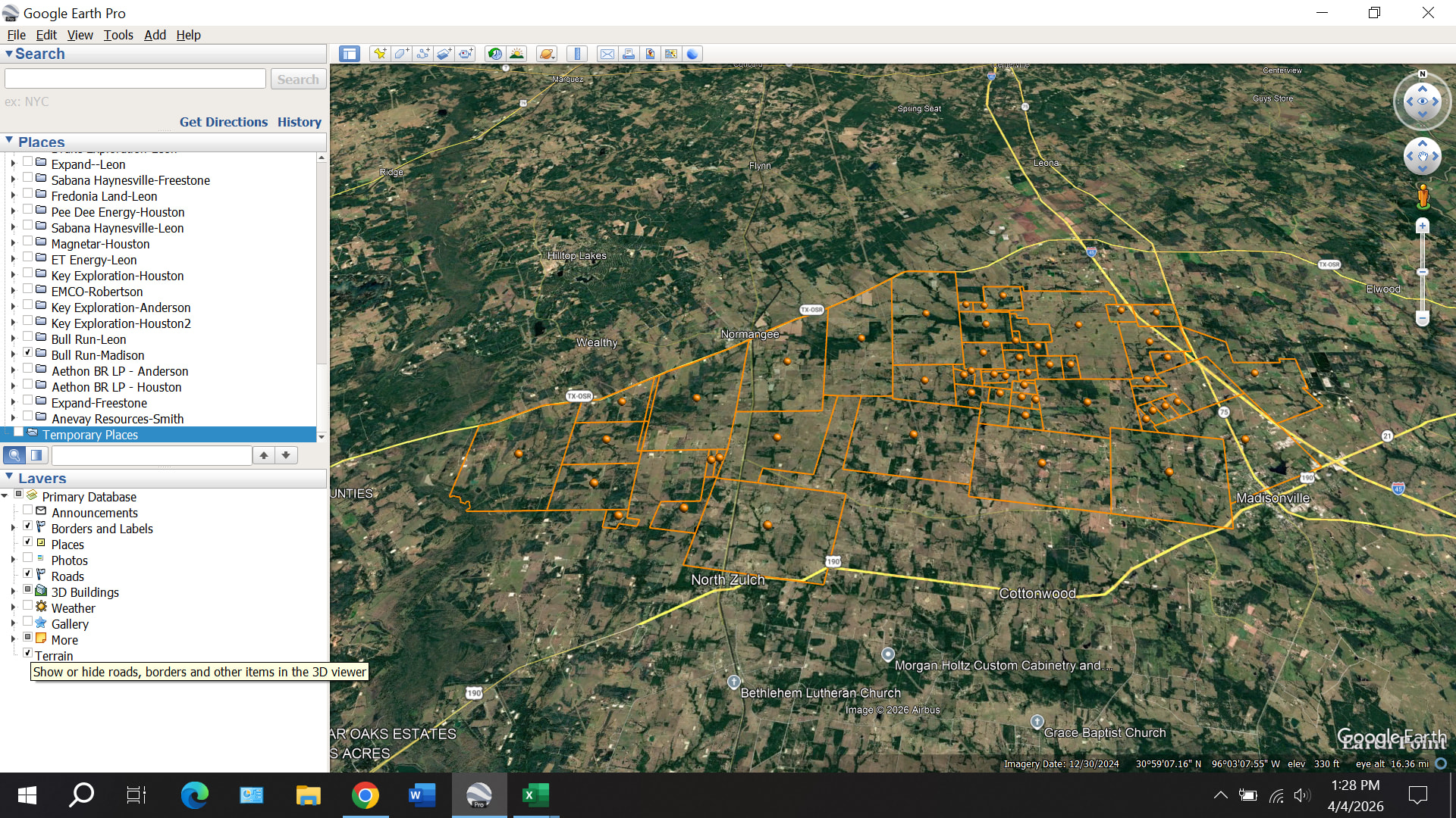
Bull Run Resources LLC (appears to be based in Tyler, Texas) filed 61 lease memos in Leon and Madison Counties on March 10. These leases cover about 7,600 acres (4,500 in Madison and 3,100 in Leon). The lease area extends from Madisonville to the northwest through Normangee up to Hilltop Lakes:
Bull Run continues to file new lease memos. Through March 17, they have filed 177 in Leon County and 43 in Madison County. Total gross acreage is 14,000 (8,700 in Leon and 5,300 in Madison).
I’m checking around, but haven’t found anyone who knows anything about Bull Run.
This is Bull Run’s first ever W-1 filing, suggesting that they are covering for an undisclosed E&P company. Bull Run registered with the Texas RRC on March 20, 2026.
Any idea on the terms offered? My family was contacted by the third party lease hound. He was talking about $400 NMA on a 3-year with additional 2-year option at same rate, 20% royalty with no cost free.
Bull Run recorded 457 new lease memos in Madison County on Friday and today. This is obviously a large-scale leasing project, lending more credence to the possibility that EOG may be involved.
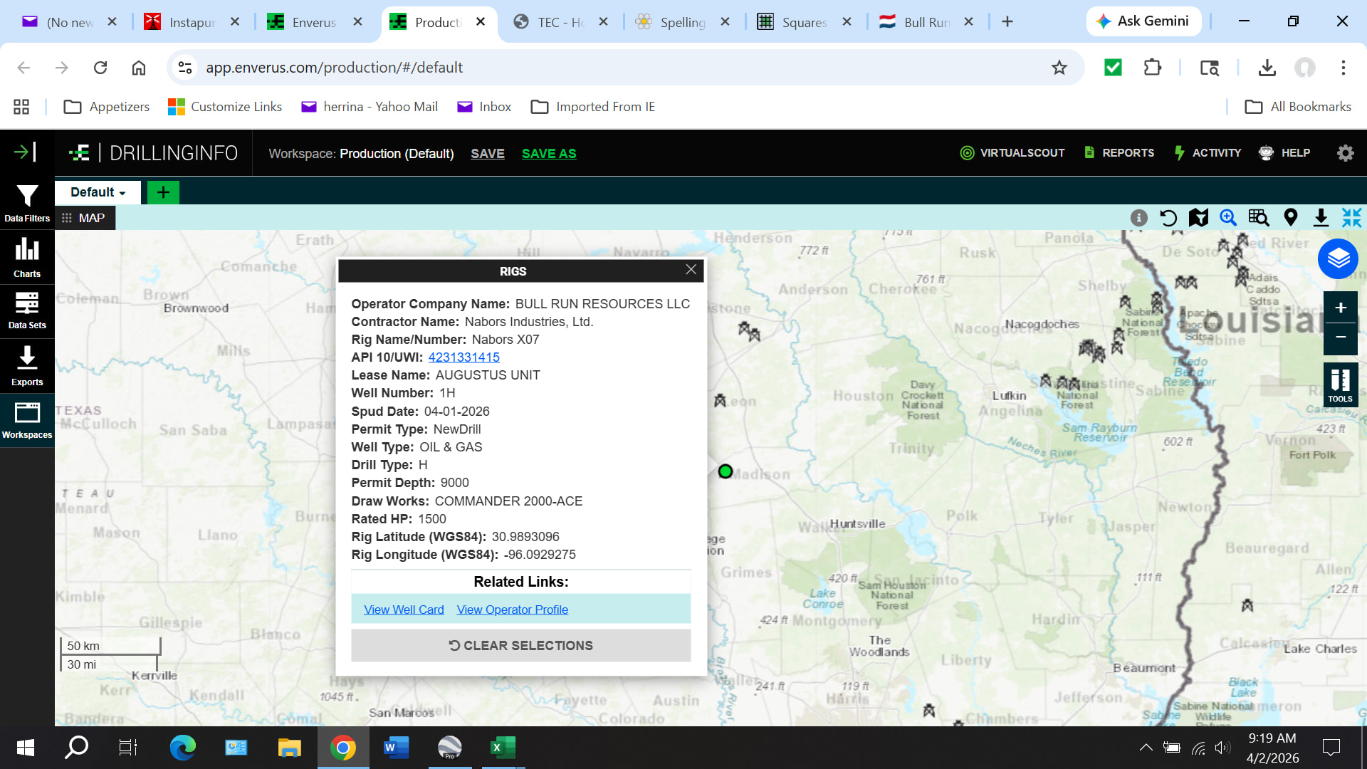
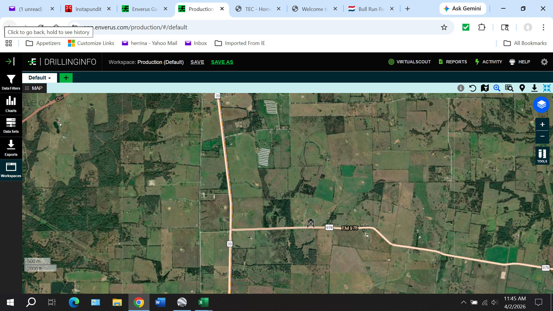
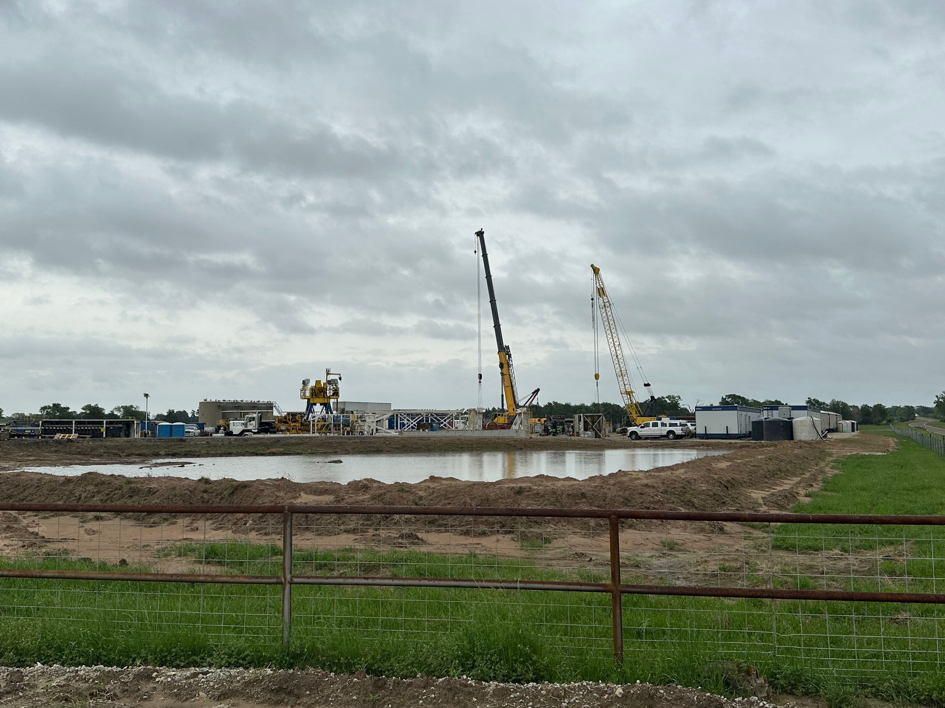
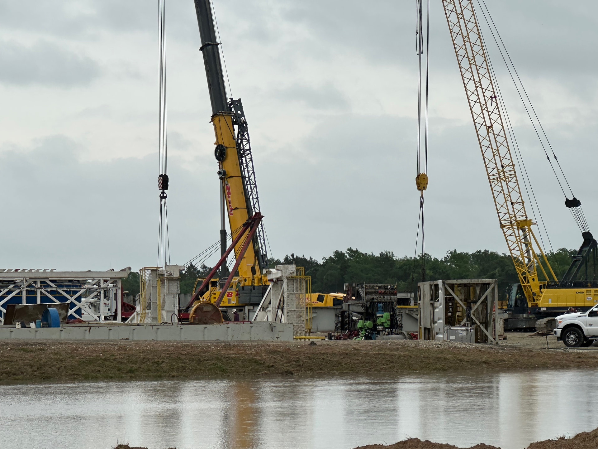
Rig is on site for the Bull Run Augustus Unit 1H well in Madison County. The rig is Nabors X07. EOG frequently uses Nabors rigs. In fact, EOG currently has nine Nabors rigs going. Just another piece of evidence suggesting that this is an EOG project.
Unfortunately, I can’t provide an update for their Leon County leasing. Leon County switched vendors for their online search function on March 23, and the website has not worked since then. I hope that will get fixed soon.
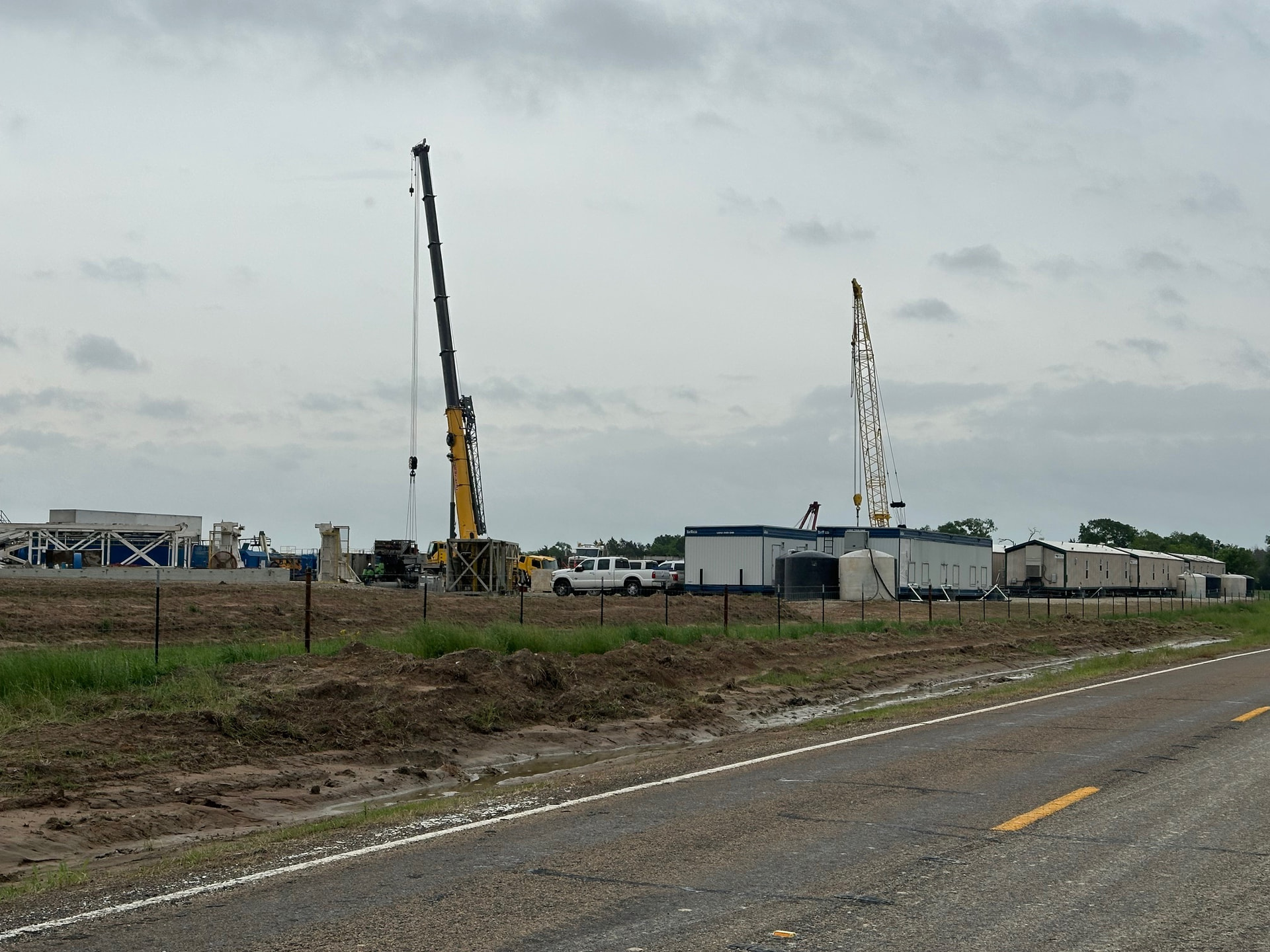
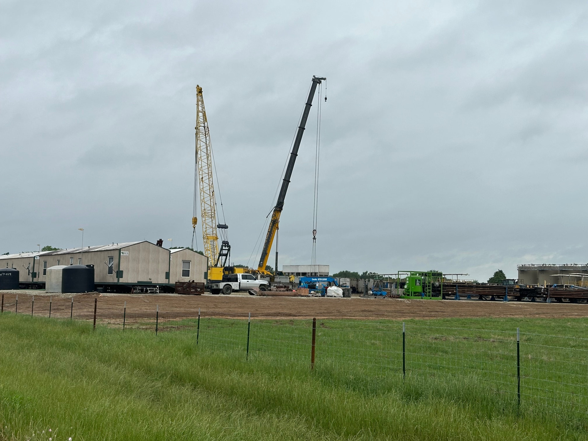
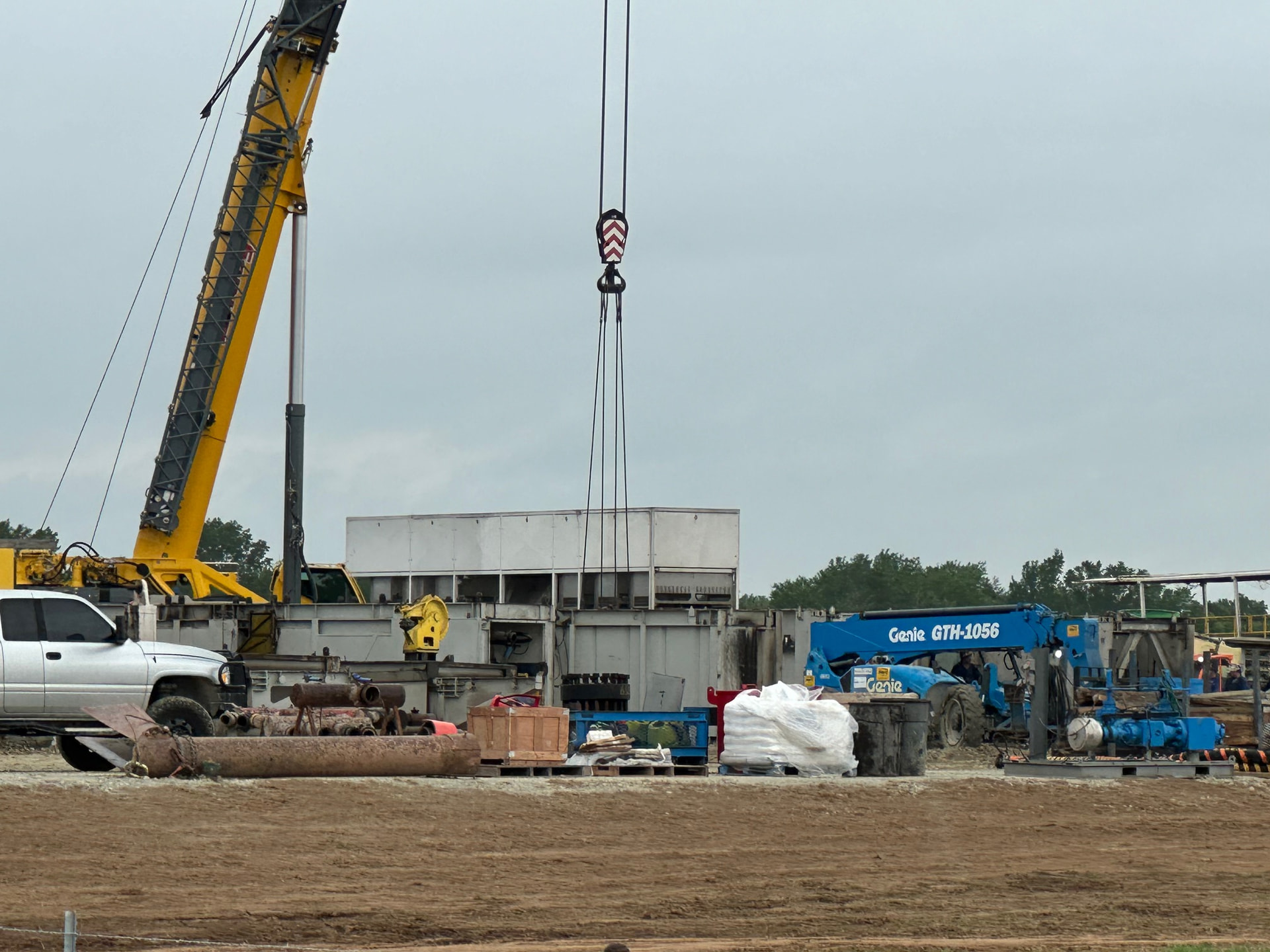
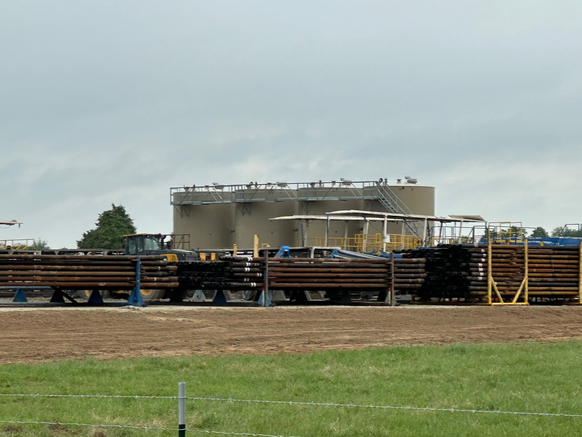
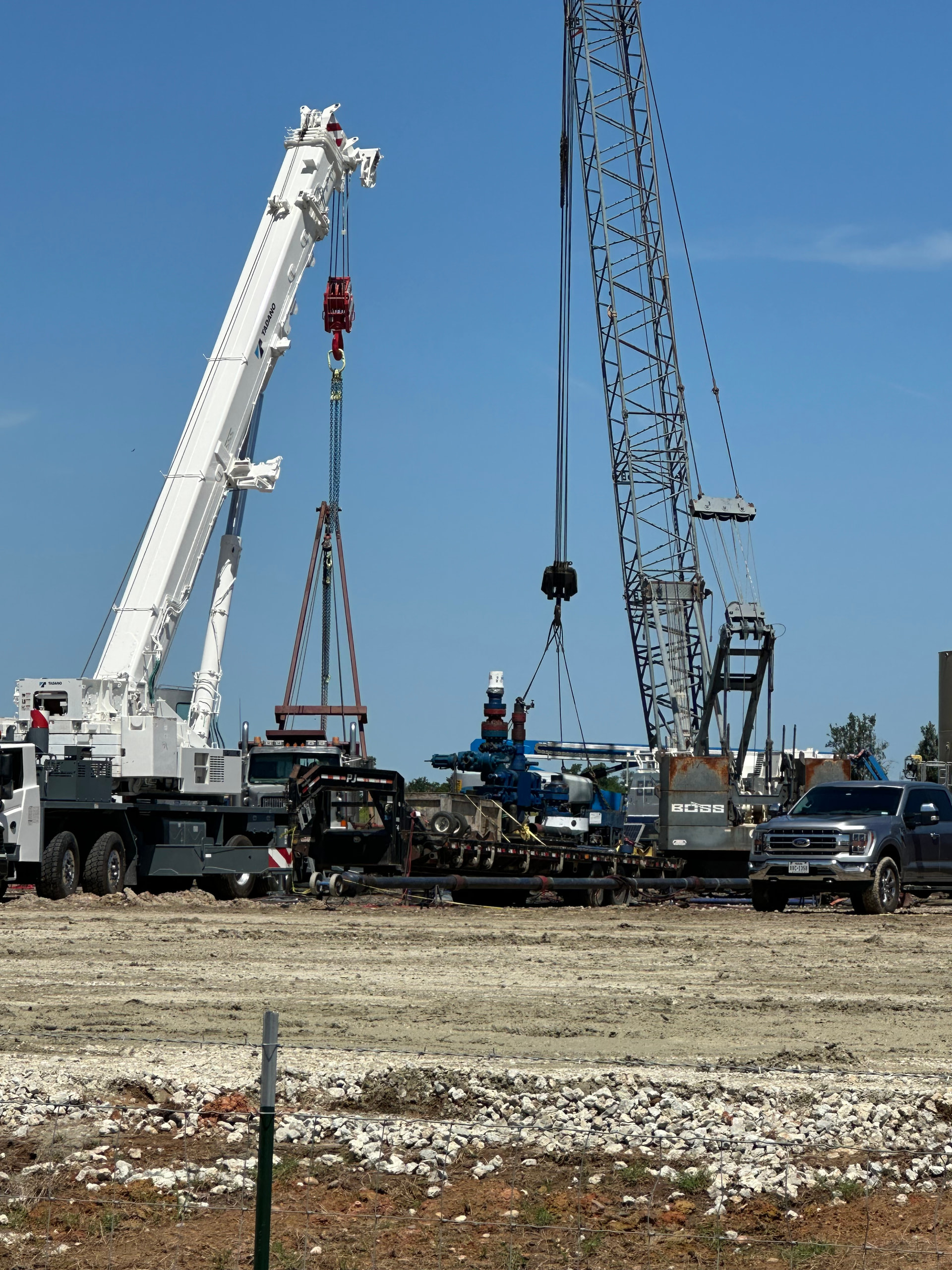
I drove by the wellsite today, and the rig was in the final stages of teardown. Rig arrived on April 1, and drilling was completed no later than April 11. If it was drilled according to plan, that is 20,000 feet(9,000 tvd and 11,000 lateral) of drilling in ten days or less. Looks like an EOG operation! Four large permanent storage tanks have been installed. Here are some photos:
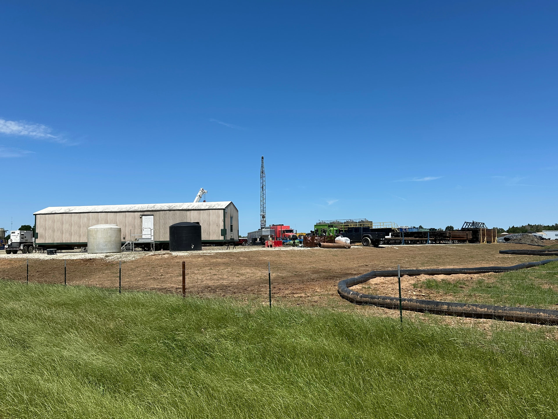
I drove by the well site again Sunday. Portable water lines are in place, presumably for the frac job that should begin soon. I was informed that the equipment shown in the last photo below suggests that some type of downhole wireline activity had been going on.
I probably won’t be making another trip to the area anytime soon, so maybe someone else can provide updates in the coming weeks!
If you are referring to the Google Earth map earlier in this thread, I search for lease memos in county deed records, identify the surveys containing leased acreage, and use this website to map them in Google Earth:
I’m pretty sure you are right. I asked grok, the AI assistant, to see if a link could be found between the surveyor who did the plat for the Bull Run Madison County well and EOG Resources. grok stated that the surveyor and his firm have a long-standing business relationship with EOG:
"(Surveyor name omitted) has personally signed and certified numerous survey documents as a Registered Professional Land Surveyor and authorized agent of (surveyor’s firm) for EOG Resources projects. Examples appear in official Texas GLO records for EOG leases and units, where he certifies boundary surveys, plats, and related work.
This connection is also highlighted in (surveyor’s firm) own Statements of Qualifications, which reference (the surveyor) and detail their work for EOG.
In summary, this is a well-documented, ongoing business relationship involving large-scale surveying support for EOG’s operations, particularly in Texas."