1945 GLO Map

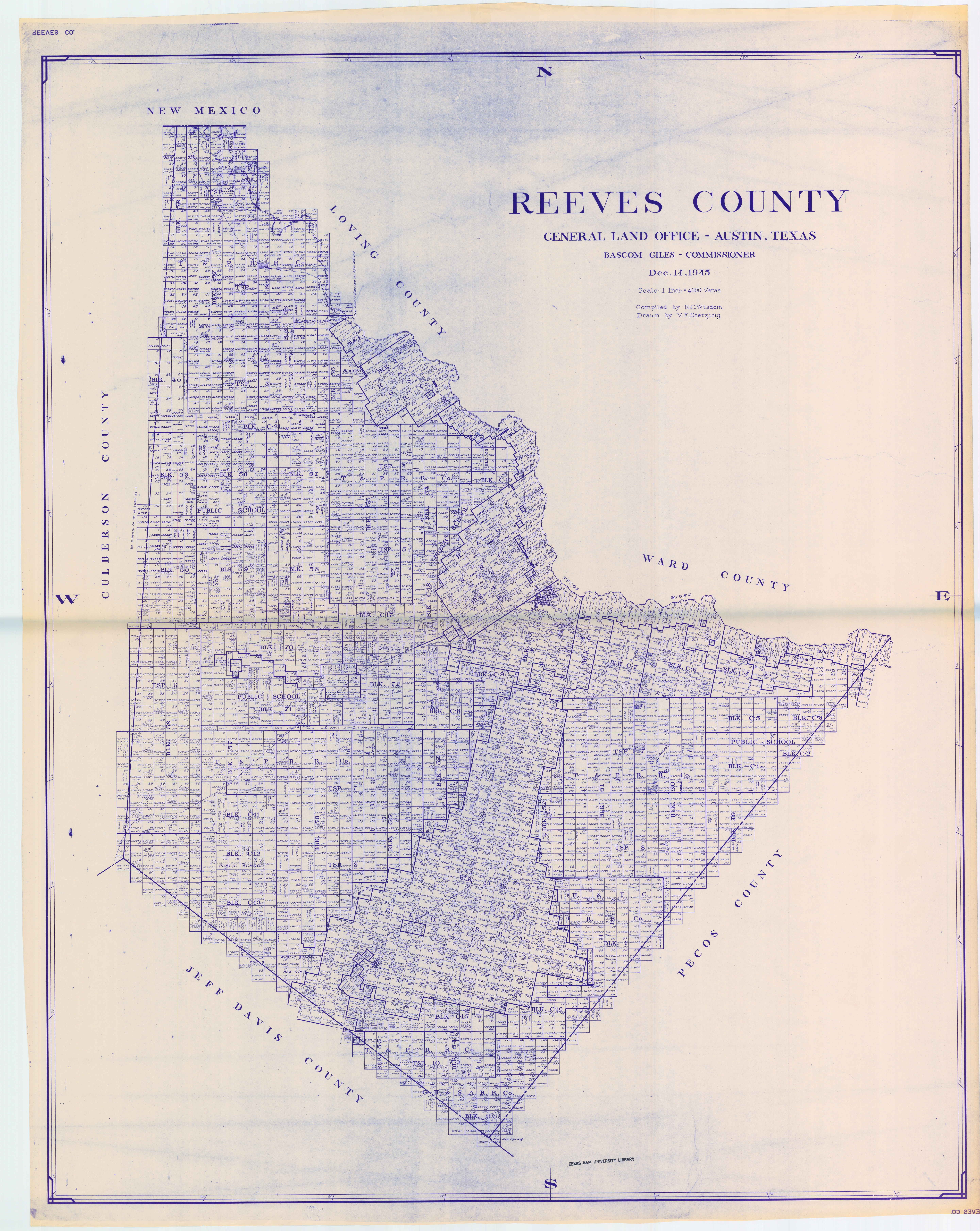
Hi, Everyone. I am posting the link below for all to use. It's been very helpful to me. I hope this helps others. I've had people ask me where the Interstate is. The Interstate wasn't around in 1945. I use this map on my phone all the time but have to export it to a program/app called "Fast Image Viewer" in order to see the individual blocks and sections. I had a graphics company print it out for me and they had to print it in halves because of its size. It's also over eight feet tall. Enjoy. Linton

https://www.dropbox.com/s/7fnai6m7fjqlw9s/Reeves%20County%20Land%20Map%20blue.jpg?dl=0

Linton Tomlin,

That map link you shared with us is Great!
Thanks so much for sharing it. The resolution is excellent!

:-)

Will

You're sure welcome, Will. It has helped me tremendously for several years. Now if we can just get some easy way (software) to track small amounts of minerals like I have, inexpensively, that would be great!! Linton

Great map Linton

Super. Glad you've found it useful! Linton