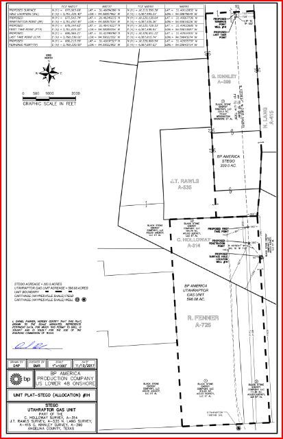
In north Angelina County, British Petroleum is drilling some large natural gas wells in a “sweet spot” located in the Moffett area (FM 842) and along Jack Nerren Road. This area is roughly to the north-northeast of the old Abitibi Paper Mill along HW 103E. In appears that there is a productive layer of Haynesville Shale located in this area (called the south end of the Shelby Trough). The shale rock in this area is weak and brittle, and the wells that have been drilled are considered exploratory. BP has currently drilled 4 exploratory wells so far (in the past 12 months). The wells are each about 15,000 feet deep and have an approx. 7,000 to 8,000 feet long horizontal leg. The first well (called TRex) potentialed at about 13 million cubic feet per day and their second well (called the Dino) potentialed at about 14 million cubic feet per day. Casing pressures are about 10,000 to 11,000 pound per square inch casing pressure. The Saber and Utahraptor units are being completed. Another unit, called the Gasosaurus, has been recently permitted nearby in the JR Crofton Survey (near Moffett).
Regarding leasing, the current going lease rate (final negotiated terms) for north Angelina Haynesville leasing is $250 to $350 per acre bonus and a 20% to 22.5% COST FREE royalty. Also get a 3 year primary term if you can, but accept nothing longer than a 3year primary with 2 year option to extend.
If approached for a 3D seismic survey effort with option to lease, try to lease first. You don’t want to give BP a “peek” at your minerals before leasing. If they don’t like the results, they may walk and you loose the potential bonus income. Also ask for surface protections before you sign your seismic permit approval. “Google” for a sample seismic agreement that you can review.
Consider this information as an opinion. It’s best to talk with neighbors to see what they are being offered and what they plan to do. Also and if you have sufficient mineral acreage, use the services of an experienced Oil and Gas Attorney to help with your lease review prior to signing.