# What is a bottom hole survey?
**URL:** https://www.mineralrightsforum.com/t/what-is-a-bottom-hole-survey/75351
**Category:** Oil & Gas Field Operations
**Created:** [April 26, 2024, 11:40am UTC](https://www.mineralrightsforum.com/t/what-is-a-bottom-hole-survey/75351 "2024-04-26T11:40:23Z")
**Posts on this page:** 7
**Page:** 1
### Author:  [@Todd\_Hoffman](https://www.mineralrightsforum.com/u/Todd_Hoffman)
#### Post date: [April 26, 2024, 11:40am UTC](https://www.mineralrightsforum.com/t/what-is-a-bottom-hole-survey/75351/1 "2024-04-26T11:40:23Z")
I received letters from an attorney for Toklan saying the Corporation Commission approved the 1280 acre spacing for 2 wells. Section 1 & 14 Township 14 North 15 West in Custer County.
It says the case will be reopened on October 7th for the introduction of the bottom hole survey.
What is a bottom hole survey?
What is the purpose of it?
How do they do a bottom hole survey?
What is the next step in the process if they decide to proceed?
---
### Author:  [@M\_Barnes](https://www.mineralrightsforum.com/u/M_Barnes)
#### Post date: [April 26, 2024, 2:39pm UTC](https://www.mineralrightsforum.com/t/what-is-a-bottom-hole-survey/75351/2 "2024-04-26T14:39:11Z")
This is a pretty good indication that the well is going to go ahead and proceed. The engineers plan a path for the well in the beginning. The borehole survey is done after the well is drilled to find out where it actually went. The borehole survey (or bottom hole survey) is used to show the splits in what portion of which section has a certain number of feet perforated in it. It is done using a wireline device that measures the X, Y and Z location of the borehole every so many feet.
---
### Author:  [@Todd\_Hoffman](https://www.mineralrightsforum.com/u/Todd_Hoffman)
#### Post date: [April 26, 2024, 4:57pm UTC](https://www.mineralrightsforum.com/t/what-is-a-bottom-hole-survey/75351/3 "2024-04-26T16:57:21Z")
Are they going to drill and frac both wells prior to the bottom hole survey? That seems like a lot to do in six months. To my knowledge, they have not started the dirt work on the locations.
---
### Author:  [@M\_Barnes](https://www.mineralrightsforum.com/u/M_Barnes)
#### Post date: [April 26, 2024, 5:29pm UTC](https://www.mineralrightsforum.com/t/what-is-a-bottom-hole-survey/75351/4 "2024-04-26T17:29:37Z")
They generally do drill both wells first and run the surveys while the rig is still onsite. I am not up on the current technology, so not sure if they are running them on wirelines or using the mud pumping technology and bit information telemetry to run the surveys. Then they frack.
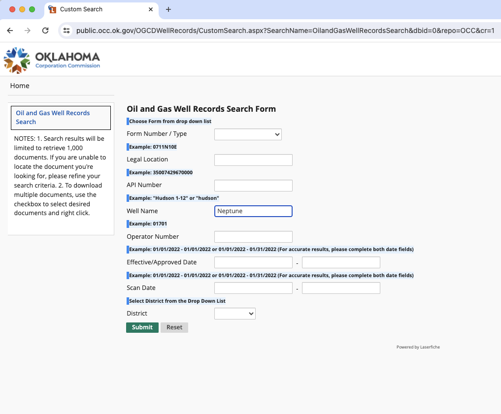
What are the intended well names? Do you know how to look them up on the OK Corporation Commission website to watch for the spud dates?
---
### Author:  [@Todd\_Hoffman](https://www.mineralrightsforum.com/u/Todd_Hoffman)
#### Post date: [April 26, 2024, 11:32pm UTC](https://www.mineralrightsforum.com/t/what-is-a-bottom-hole-survey/75351/5 "2024-04-26T23:32:40Z")
I do know the name of the wells
Neptune 1-12MRMCXH2
Neptune 1-12MRMCXH1
---
### Author:  [@M\_Barnes](https://www.mineralrightsforum.com/u/M_Barnes)
#### Post date: [April 27, 2024, 1:29pm UTC](https://www.mineralrightsforum.com/t/what-is-a-bottom-hole-survey/75351/6 "2024-04-27T13:29:10Z")
The wells are probably still in the planning phase as they are not showing up on the OK well records list yet.
---
### Author:  [@system](https://www.mineralrightsforum.com/u/system)
#### Post date: [July 25, 2024, 11:40am UTC](https://www.mineralrightsforum.com/t/what-is-a-bottom-hole-survey/75351/7 "2024-07-25T11:40:43Z")
This topic was automatically closed after 90 days. New replies are no longer allowed.