# Fisher County, TX - Oil & Gas Discussion archives
**URL:** https://www.mineralrightsforum.com/t/fisher-county-tx-oil-gas-discussion-archives/1334
**Category:** Fisher County, TX
**Created:** [August 26, 2011, 4:40pm UTC](https://www.mineralrightsforum.com/t/fisher-county-tx-oil-gas-discussion-archives/1334 "2011-08-26T16:40:48Z")
**Posts on this page:** 20
**Page:** 4
### Author:  [@Kreg\_Harrison](https://www.mineralrightsforum.com/u/Kreg_Harrison)
#### Post date: [May 19, 2012, 2:57am UTC](https://www.mineralrightsforum.com/t/fisher-county-tx-oil-gas-discussion-archives/1334/61 "2012-05-19T02:57:55Z")
Ok..I found it..
---
### Author:  [@Kreg\_Harrison](https://www.mineralrightsforum.com/u/Kreg_Harrison)
#### Post date: [May 19, 2012, 3:04am UTC](https://www.mineralrightsforum.com/t/fisher-county-tx-oil-gas-discussion-archives/1334/62 "2012-05-19T03:04:19Z")
Click on the image below and you can see the production numbers for MANN #1 - Drilled by Armour - but owned by Gunn Oil. The RRC# is 30940. Looks like pretty good numbers to me - about 145 BBLS per day. Good luck to all of us.
---
### Author:  [@Kreg\_Harrison](https://www.mineralrightsforum.com/u/Kreg_Harrison)
#### Post date: [May 19, 2012, 3:04am UTC](https://www.mineralrightsforum.com/t/fisher-county-tx-oil-gas-discussion-archives/1334/63 "2012-05-19T03:04:42Z")
That well is 4.2 NE of Rotan.
---
### Author:  [@Kreg\_Harrison](https://www.mineralrightsforum.com/u/Kreg_Harrison)
#### Post date: [May 19, 2012, 3:10am UTC](https://www.mineralrightsforum.com/t/fisher-county-tx-oil-gas-discussion-archives/1334/64 "2012-05-19T03:10:18Z")
Note that there is no decline curve on this production - it’s actually going up - which is amazing compared to typical wells I see in Reeves County. Also note the formation is listed as Wildcat - so who knows what formation they actually hit - if anyone knows, please share.
---
### Author:  [@Red\_Dirt\_Junkie](https://www.mineralrightsforum.com/u/Red_Dirt_Junkie)
#### Post date: [May 19, 2012, 3:25am UTC](https://www.mineralrightsforum.com/t/fisher-county-tx-oil-gas-discussion-archives/1334/65 "2012-05-19T03:25:56Z")
I have been told the Mann well is a Pinnacle Reef well. Cored the shale but is producing from the reef. Mann #2 and Cahill are offsetting in the same half section.
---
### Author:  [@Martha\_Broom](https://www.mineralrightsforum.com/u/Martha_Broom)
#### Post date: [May 21, 2012, 2:30am UTC](https://www.mineralrightsforum.com/t/fisher-county-tx-oil-gas-discussion-archives/1334/66 "2012-05-21T02:30:20Z")
I am surprised with the seemingly good report on wells in the area that there has not been more effort to obtain more leases. The County Clerk’s office in Fisher County seems to be behind in their records so landmen may have a hard time finding folks.
---
### Author:  [@Joe\_Don\_Guelker](https://www.mineralrightsforum.com/u/Joe_Don_Guelker)
#### Post date: [May 21, 2012, 4:10pm UTC](https://www.mineralrightsforum.com/t/fisher-county-tx-oil-gas-discussion-archives/1334/67 "2012-05-21T16:10:56Z")
There are now 2 producing wells on the Mann Lease. Completion on well number 3 occurring now. There appears to be a new location a couple of terraces over north of the 3rd well. The first well tested at 150 barrels of oil per day and around 240 MCF. I have not seen the 2nd test listed. There is also a new well north on Hull Lease. Sojourner owns the existing well on this Lease so I am making an assumption only that this new well is theirs but do not know or if in same formation.
---
### Author:  [@BLB](https://www.mineralrightsforum.com/u/BLB)
#### Post date: [May 21, 2012, 10:04pm UTC](https://www.mineralrightsforum.com/t/fisher-county-tx-oil-gas-discussion-archives/1334/68 "2012-05-21T22:04:19Z")
Our section shows 3 dry holes, 2 pending, 1 plugged, and 2 oil wells. The problem is I can’t retrieve any info on them and followed every step on Kreg’s video. This is the only info on the only one I could look at submitted 03/05/1979 Approved 03/05/1979 and status # gives no info but they don’t say plugged. Any ideas?
---
### Author:  [@Kreg\_Harrison](https://www.mineralrightsforum.com/u/Kreg_Harrison)
#### Post date: [May 22, 2012, 1:44am UTC](https://www.mineralrightsforum.com/t/fisher-county-tx-oil-gas-discussion-archives/1334/69 "2012-05-22T01:44:29Z")
Blake -
Sorry to say anything old - like from 1997 and older typically doesn’t have much info. What block number and Section are you in? I might take a peek and see what’s up.
---
### Author:  [@Paula\_Akers](https://www.mineralrightsforum.com/u/Paula_Akers)
#### Post date: [May 22, 2012, 2:38am UTC](https://www.mineralrightsforum.com/t/fisher-county-tx-oil-gas-discussion-archives/1334/70 "2012-05-22T02:38:42Z")
Does anyone know who is leasing East of Roby?
---
### Author:  [@BLB](https://www.mineralrightsforum.com/u/BLB)
#### Post date: [May 22, 2012, 2:39am UTC](https://www.mineralrightsforum.com/t/fisher-county-tx-oil-gas-discussion-archives/1334/71 "2012-05-22T02:39:22Z")
Thanks Kreg…A250/185
---
### Author:  [@Kreg\_Harrison](https://www.mineralrightsforum.com/u/Kreg_Harrison)
#### Post date: [May 22, 2012, 3:28am UTC](https://www.mineralrightsforum.com/t/fisher-county-tx-oil-gas-discussion-archives/1334/72 "2012-05-22T03:28:20Z")
Blake - I have the same issues you are having. I can tell you this - most everything I see is 30 years or older and info is rare to find..probably predates any computer input.
On the one well - you could try contacting SOUTHLAND PETROLEUM COMPANY (805620) and see if they can tell you anything about that one well from 1979 using API 151-30943 - they should be able to tell you something.
---
### Author:  [@BLB](https://www.mineralrightsforum.com/u/BLB)
#### Post date: [May 22, 2012, 6:59pm UTC](https://www.mineralrightsforum.com/t/fisher-county-tx-oil-gas-discussion-archives/1334/73 "2012-05-22T18:59:35Z")
I can’t find a thing on Southland. I made contact with a few people I found searching around but they say they sold out most of what they had and can’t find an actual number for an office. Thanks though Kreg I’ll keep poking around.
---
### Author:  [@Robert\_Wilson2](https://www.mineralrightsforum.com/u/Robert_Wilson2)
#### Post date: [June 4, 2012, 2:36pm UTC](https://www.mineralrightsforum.com/t/fisher-county-tx-oil-gas-discussion-archives/1334/74 "2012-06-04T14:36:02Z")
Does anyone know anything about the electrical transition lines being built up in northern Fisher County near CR 540?
What electrical company is doing that?
---
### Author:  [@Kreg\_Harrison](https://www.mineralrightsforum.com/u/Kreg_Harrison)
#### Post date: [June 17, 2012, 1:32am UTC](https://www.mineralrightsforum.com/t/fisher-county-tx-oil-gas-discussion-archives/1334/75 "2012-06-17T01:32:15Z")
Been kinda quiet in Fisher County… any news on what is or what is not happening?
---
### Author:  [@Gary\_D\_Clawson](https://www.mineralrightsforum.com/u/Gary_D_Clawson)
#### Post date: [June 21, 2012, 2:16am UTC](https://www.mineralrightsforum.com/t/fisher-county-tx-oil-gas-discussion-archives/1334/76 "2012-06-21T02:16:47Z")
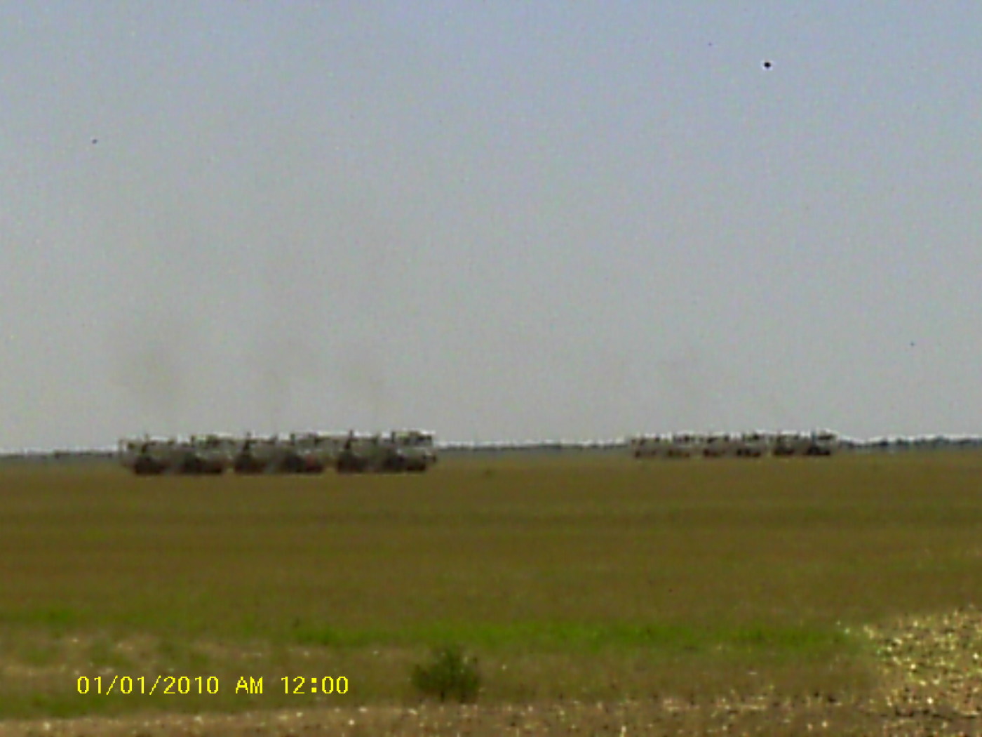
They are doodle bugging in far eastern Fisher County up to the Hamlin city limits. TDG is the company doing it. They have staked from there to west of Celotex.
---
### Author:  [@Gary\_D\_Clawson](https://www.mineralrightsforum.com/u/Gary_D_Clawson)
#### Post date: [June 21, 2012, 2:19am UTC](https://www.mineralrightsforum.com/t/fisher-county-tx-oil-gas-discussion-archives/1334/77 "2012-06-21T02:19:02Z")
Robert, the power line is North Houston Power and is going south of Stamford and then north to the old power plant at Stamford Lake. It will tie into lines going to Houston from there.
---
### Author:  [@Kenneth\_Johnson2](https://www.mineralrightsforum.com/u/Kenneth_Johnson2)
#### Post date: [June 21, 2012, 2:46am UTC](https://www.mineralrightsforum.com/t/fisher-county-tx-oil-gas-discussion-archives/1334/78 "2012-06-21T02:46:30Z")
486 acres in southwestern Fisher County Block “Y” available for lease … also 160 acres north of Roscoe cemetery in Nolan County available for lease.
---
### Author:  [@Robert\_Wilson2](https://www.mineralrightsforum.com/u/Robert_Wilson2)
#### Post date: [June 21, 2012, 11:49am UTC](https://www.mineralrightsforum.com/t/fisher-county-tx-oil-gas-discussion-archives/1334/79 "2012-06-21T11:49:54Z")
Power lines. Is there any wind farms to be built around Rotan or west of Aspermont? These lines run just south of my ranch.
---
### Author:  [@Gary\_D\_Clawson](https://www.mineralrightsforum.com/u/Gary_D_Clawson)
#### Post date: [June 26, 2012, 7:26pm UTC](https://www.mineralrightsforum.com/t/fisher-county-tx-oil-gas-discussion-archives/1334/80 "2012-06-26T19:26:50Z")
[Previous page](https://www.mineralrightsforum.com/t/fisher-county-tx-oil-gas-discussion-archives/1334.md?page=3)
[Next page](https://www.mineralrightsforum.com/t/fisher-county-tx-oil-gas-discussion-archives/1334.md?page=5)